New England – 2016
25th Sep 2016
Day 5 – Ocean Point and Southport
On our last day at Boothbay Harbour, we decided to explore the coast a little. Boothbay peninsula is shaped like an inverted trident, with Boothbay Village located at the top of the central arm. At the tip of the eastern arm is Ocean Point, whilst the western arm is called Southport.
We started by crossing the footbridge to the other side of the bay, ten walked back around the harbour. Most of the coastline is under private ownership, so is inaccessible, but there are some locations where it is possible to get down to the water.
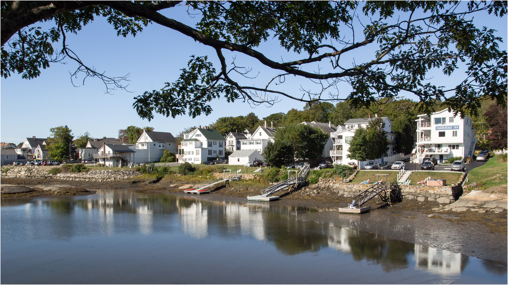
Waterside Properties At Boothbay Harbour
We then drove to Ocean Point at the end of the eastern arm of the peninsula. Here there is a short coastal path and views out to Ram Island Lighthouse.
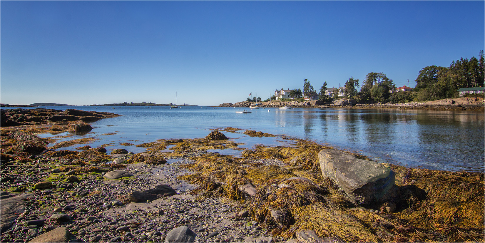
Ocean Point
The lighthouse on Ram Island was built in 1882, however it gradually fell into disrepair and by 1977 the lantern was actually removed from the lighthouse and placed on the shore. The lighthouse was then taken over by the Grand Banks Schooner Museum and gradually restored, with a new walkway constructed to connect the lighthouse to the island.
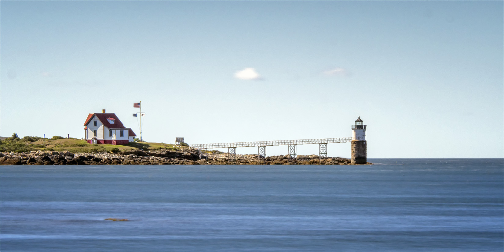
Ram Island Lighhouse
There is better access to the waters edge at Ocean Point, but some of the properties still own a little slice of the coastline, like this seating area with a splendid view.

Ocean Point View
After visiting Ocean Point we drove to the Southport peninsula which forms the western arm of the trident. First we stopped at a small beach at Hendricks Head beach, where we managed to photograph some wading birds.
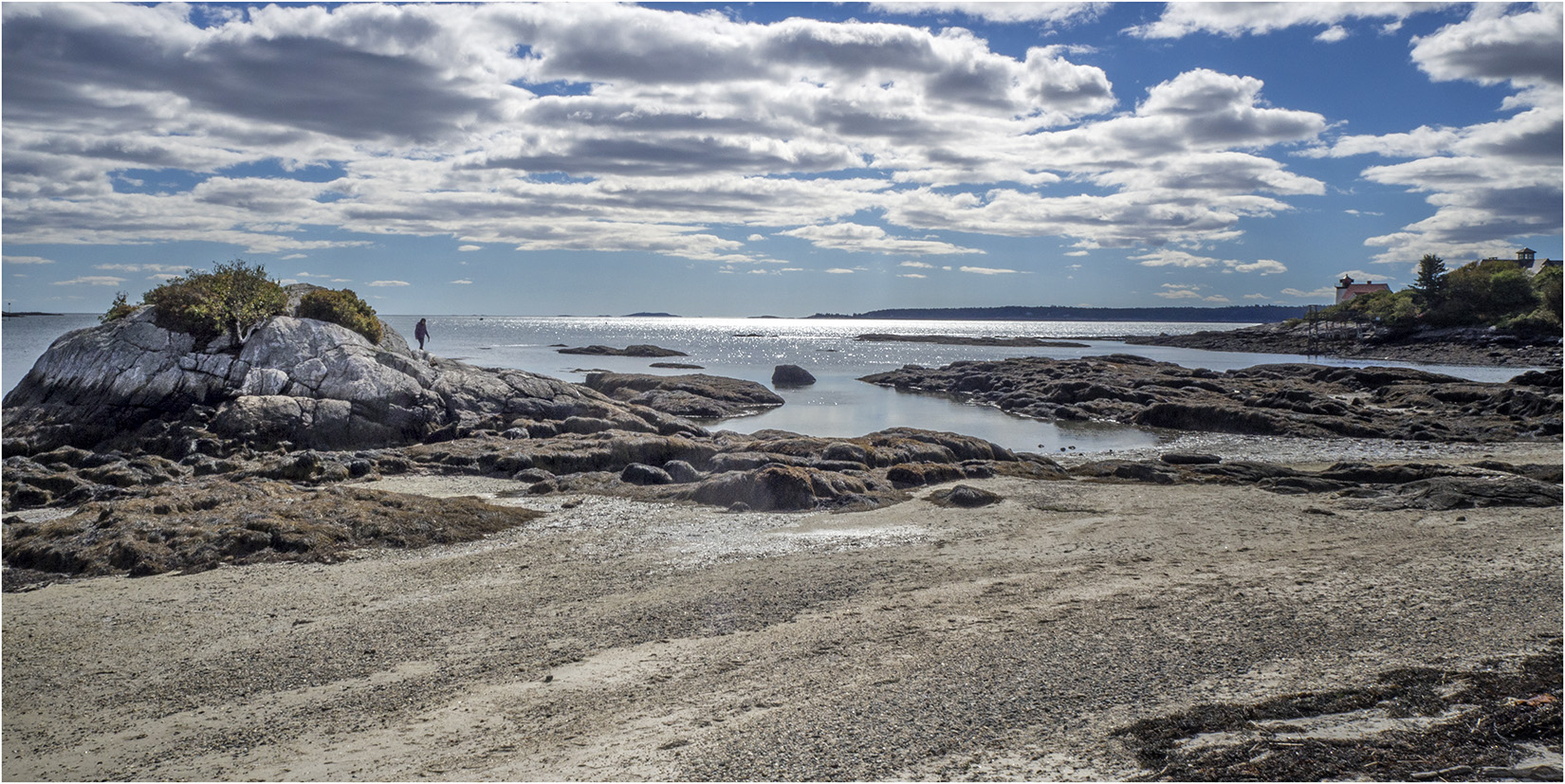
Hendricks Head Beach, Southport
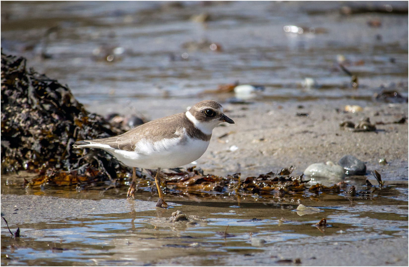
Wilson’s Plover At Hendricks Head Beach
We then continued on the southern end of the Southport peninsula, visiting Cape Newagen for some pictures of the jetty there.
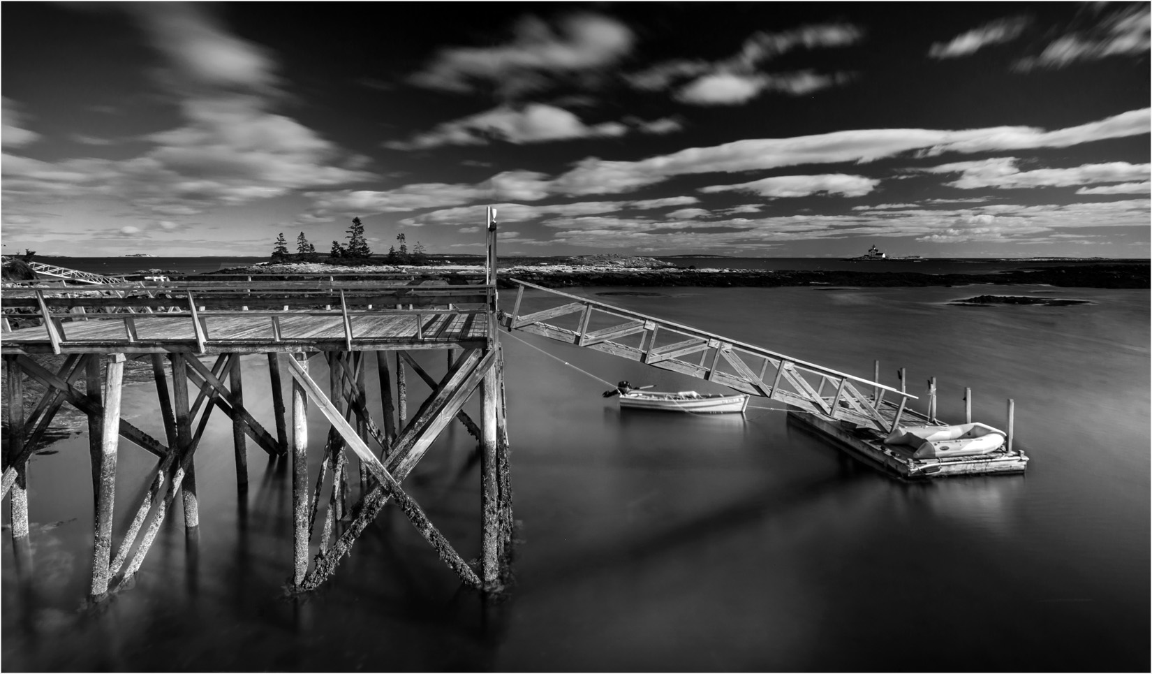
Jetty at Cape Newagen
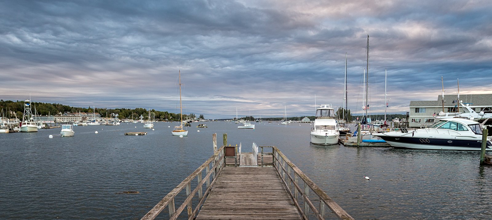
On the way back to Boothbay, we stopped for pictures of the jetties at Robinson’s Wharf, located towards the north of the Southport peninsula. The view here gave a colourful mix of boats, jetties and waterside buildings.
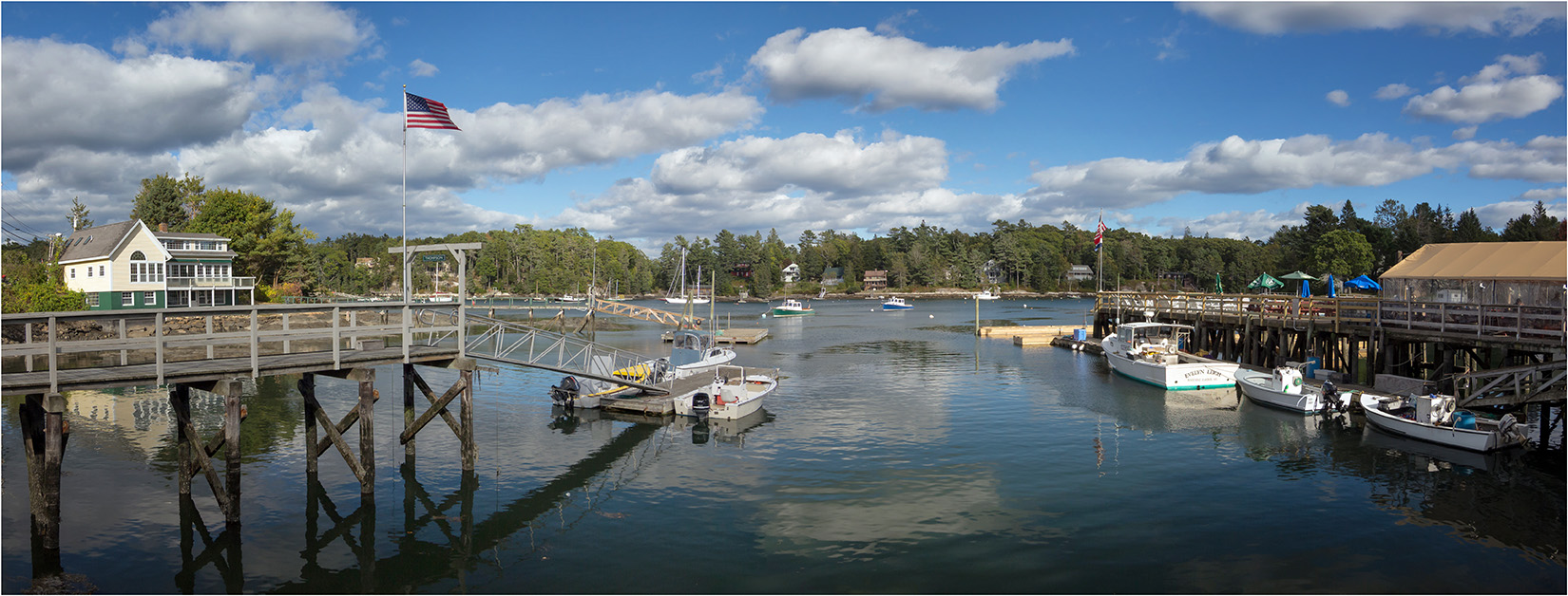
Robinson’s Wharf, Southport
That evening back in Boothbay we had a terrific sunset, so we took some pictures looking across the bay – a fine end to our stay at Boothbay Harbour.
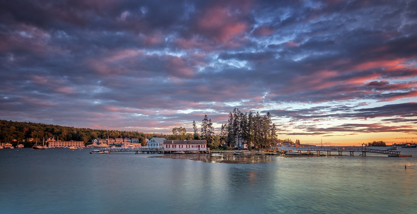
Boothbay Harbour Sunset