2016 – New England
30th Sep 2016
Day 10 – Mt Mansfield
The weather today was slightly overcast, but as it was better than the forecast for the following day, we decided to take the drive to the top of Mt Mansfield, at 4393ft the highest mountain in Vermont. Compared to the Mt Washington road, the toll road up Mt Mansfield is narrower and mostly unpaved for its 4 mile length, so is a bit more of a challenging drive.
As viewed from Stowe, Mt Mansfield has the appearance of a face in profile. The toll road ends at the nose where there are various masts and antenna, but the true summit is located at the chin, which can be reached by a hike of about 1.5 miles north along the Long Trail which follows the summit ridge. There is an extensive ski area that sits below the summit.
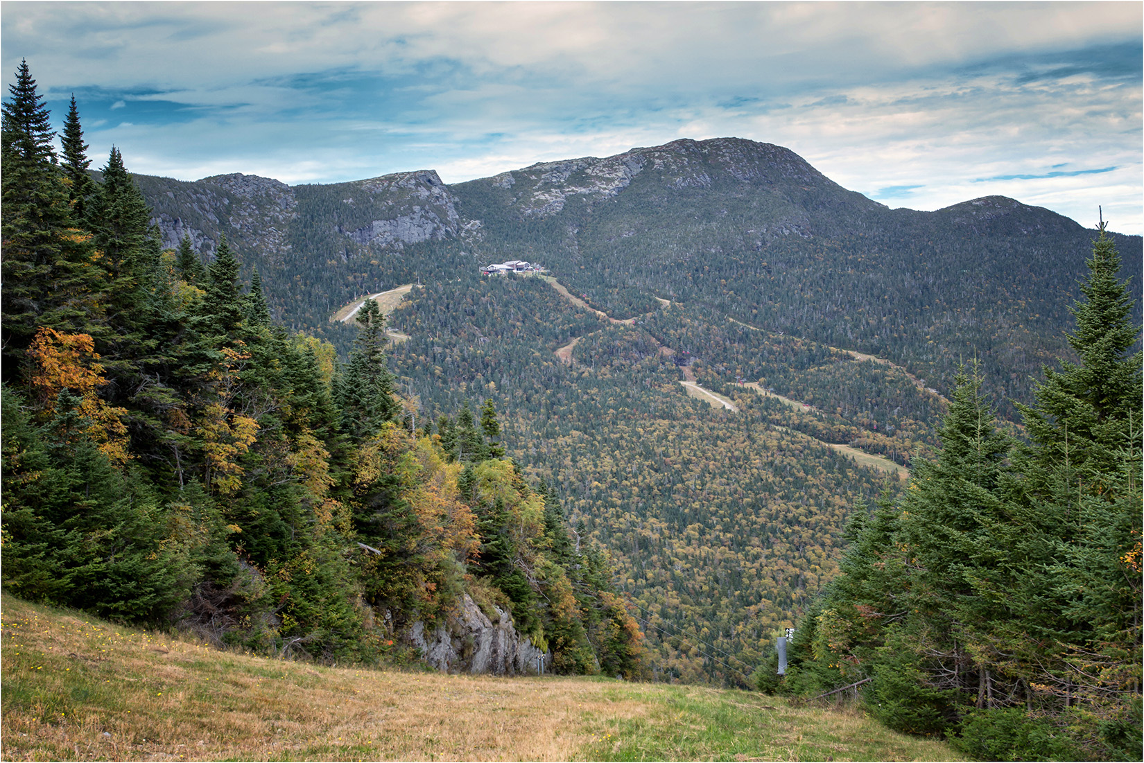
Mt Mansfield from the Toll Road
From the parking area, the walk follows the Long Trail, which makes its way along the summit ridge, with views back to the ‘nose’ of Mt Mansfield.
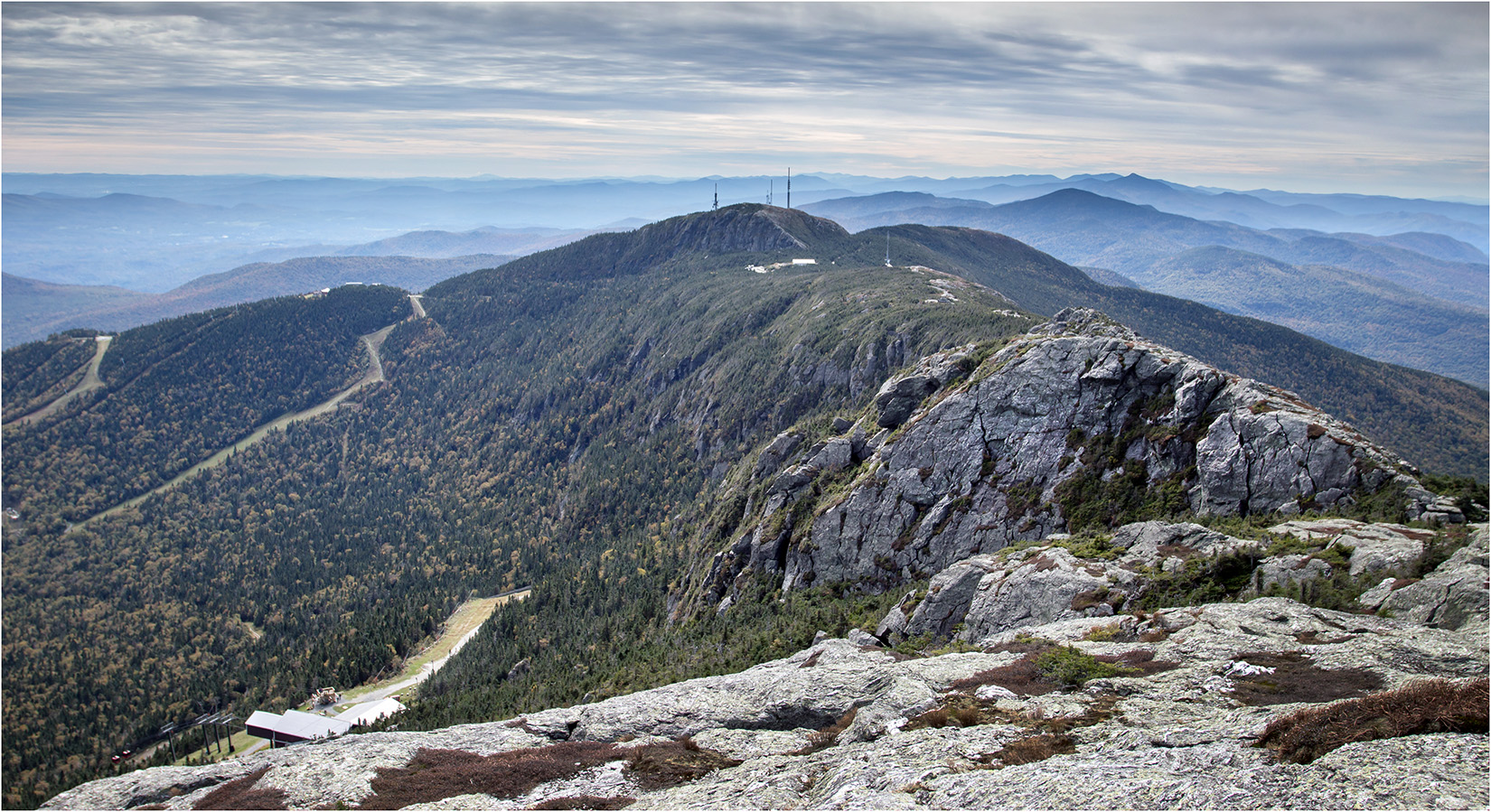
Mt Mansfield Nose from the Summit Ridge
The slopes of Mt Mansfield are heavily wooded, but towards the summit the trees thin out and there is more bare rock. The summit itself is buttressed by a small cliff on the west side.
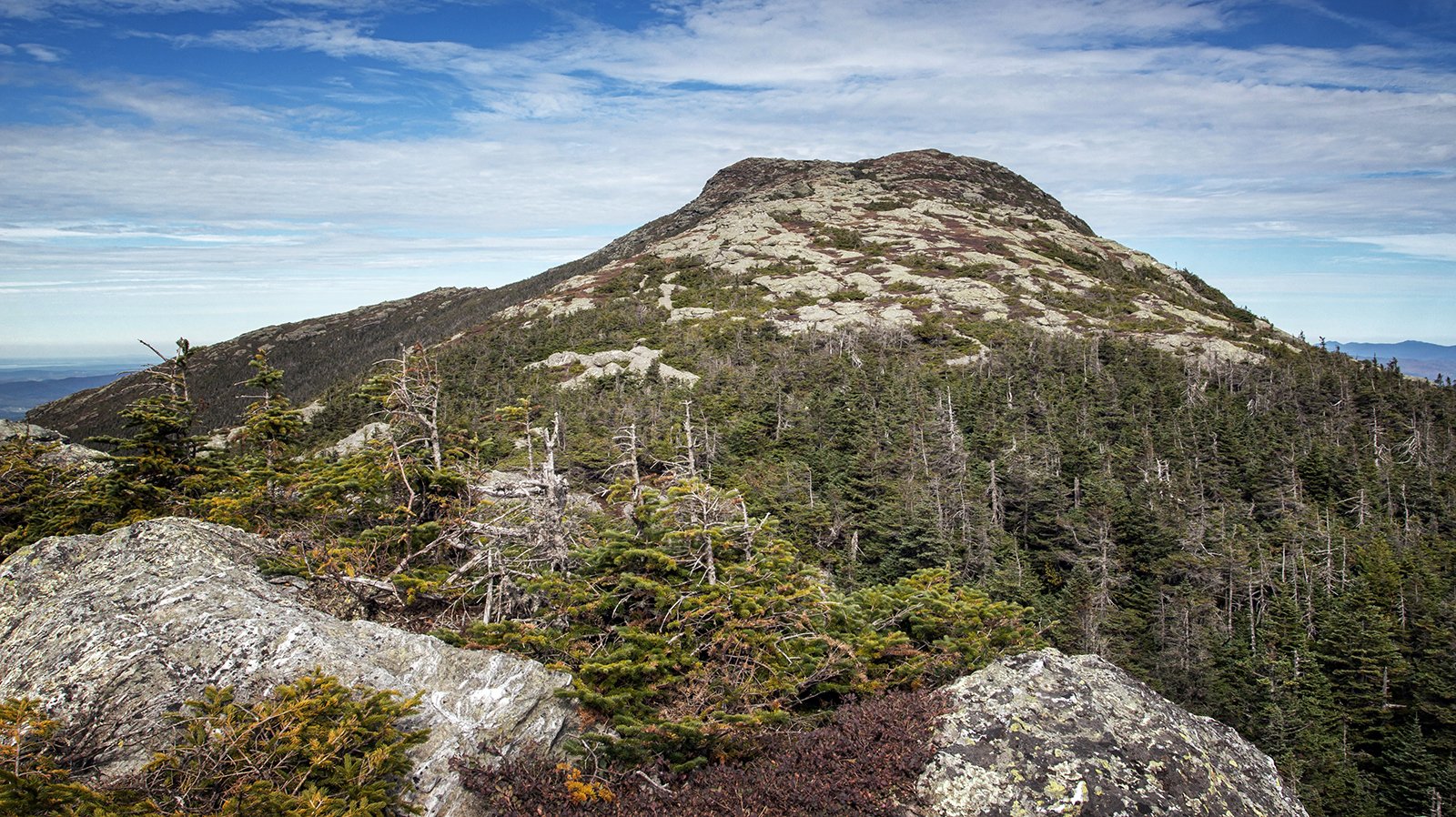
The Summit of Mt Mansfield
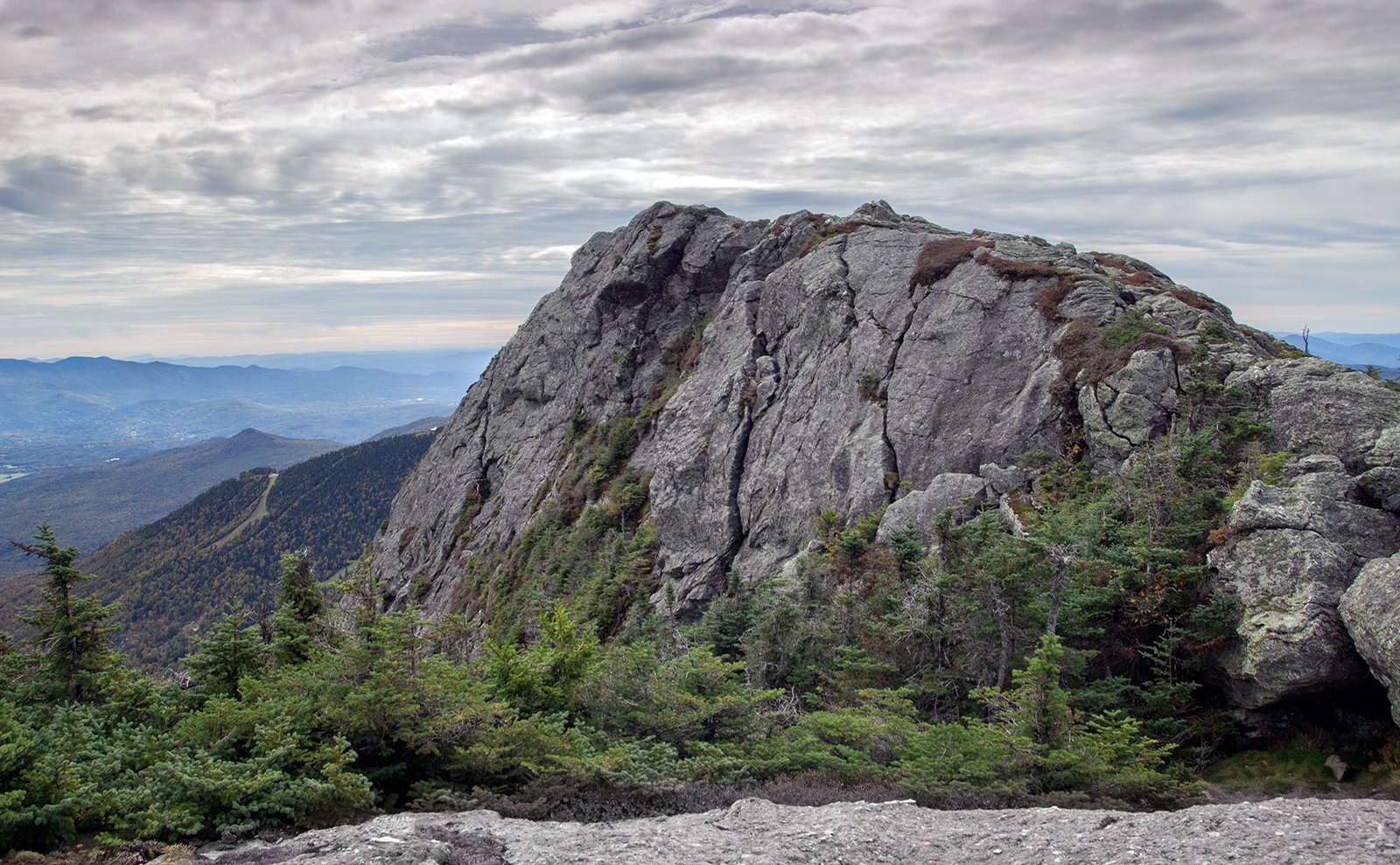
Mt Mansfield Summit Cliff
From the summit, there are extensive views across Vermont and into neighbouring New York State.
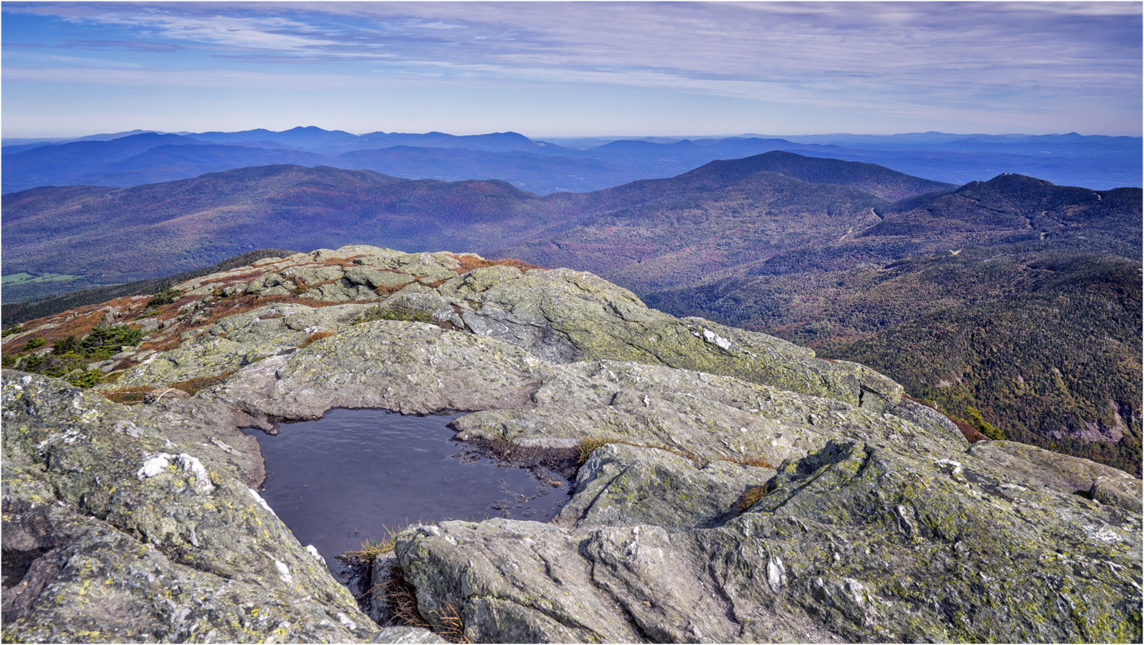
View North from Mt Mansfield
Bingham Falls
After returning down the toll road, we took a short walk to Bingham Falls. The trail starts just south of the colourfully named Smugglers Notch State Park. and passes through some attractively sculpted rock gorges.
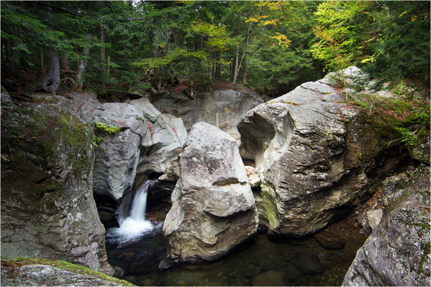
Cascades Near Bingham Falls
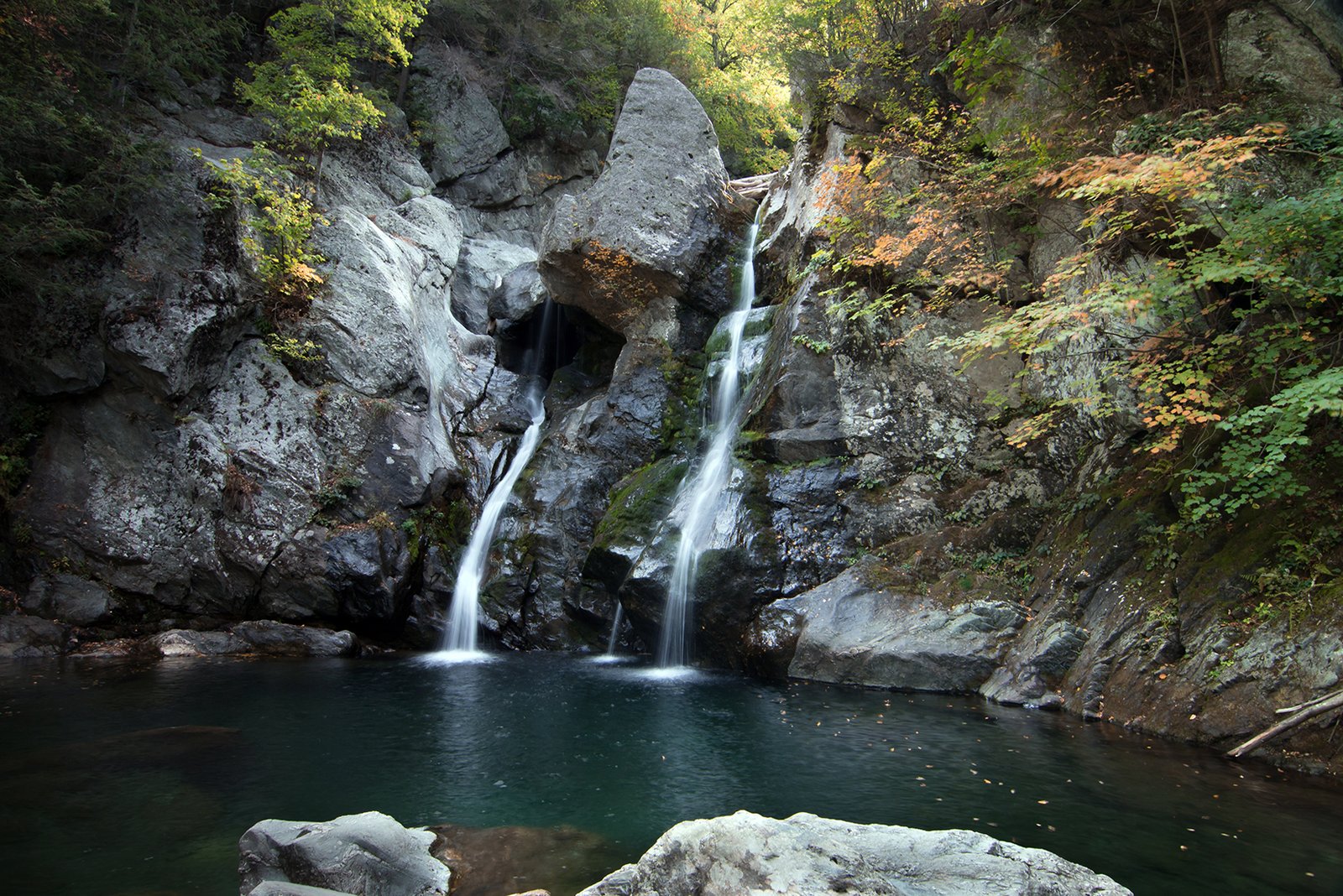
The main Bingham Falls drop 30ft into an attractive green pool.
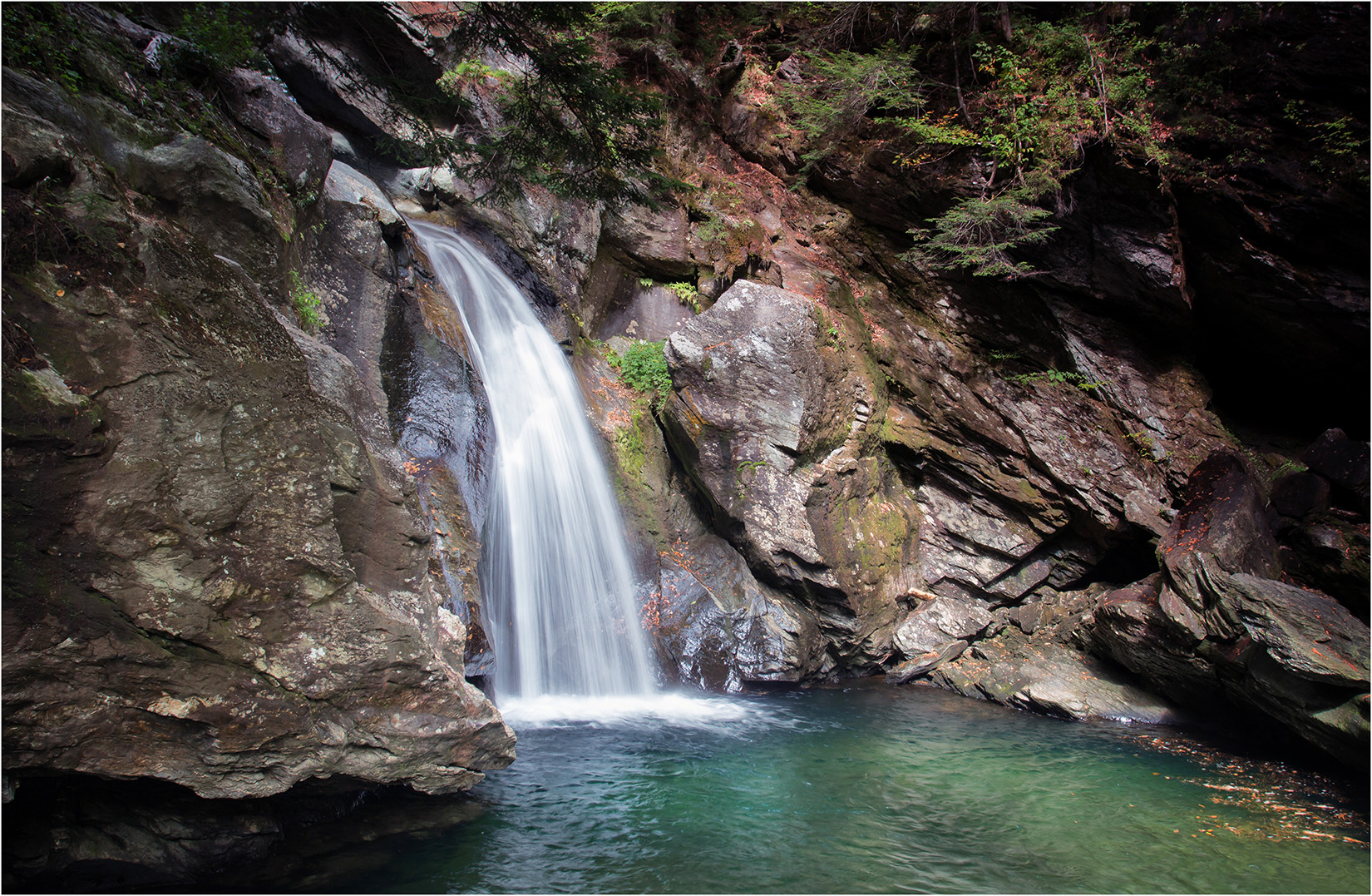
Bingham Falls