22026 – Faroe Islands
24th May 2026
Day 3 – Sorvagsvatn
Today we decided to do the popular walk to the end of Sorvagsvatn – the largest lake in the Faroe Islands. The lake is famous as the ‘Lake above the ocean’, because of its unusual geography. During the last Ice Age, bed of the lake was scoured out by a glacier, but the glacier stopped just short of breaking through to the sea. That left the lake perched about 100ft above Sea Level, but only a few feet from the sea. There is a higher viewpoint known as Traelanipon, from which it is possible to look back at the lake, sitting on top of the sea cliffs, giving the impression that the lake is floating above the sea.
The walk is across private land, and there is a rather steep entrance fee of 200 KR (about £23) per person, but as it is one of the famous views in the Faroe Islands, it is a ‘must do’. Fortunately the day was bright and sunny, allowing us to make the most of the view.
We started by visiting some boathouses with traditional turf roofs, thinking that the trail started close by. In fact when travelling from the direction of the airport, the trailhead is a couple of miles further down the road, but the boathouses were worth exploring in their own right.
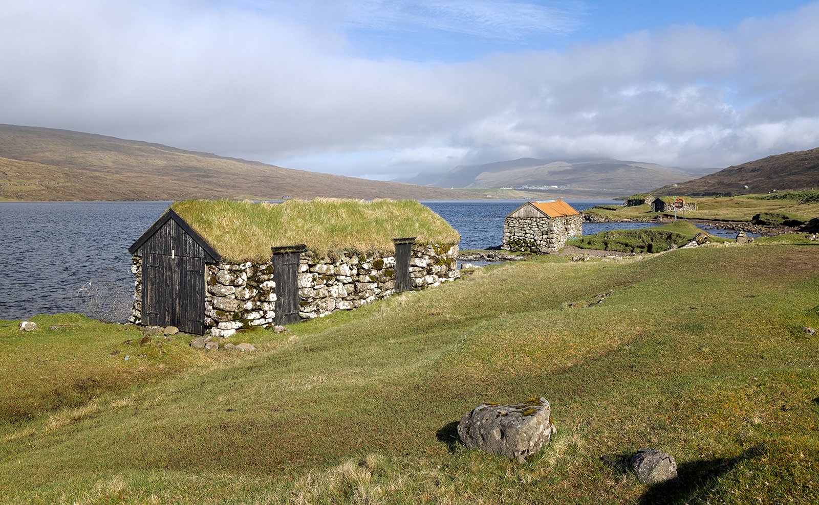
Boathouses at Sorvagsvatn
To reach the start of the trail, it is necessary to drive on past the lake, through the town of Midvagur, then back towards the lake at a higher level – a detour of over 2km. The walk is named after the viewpoint – Traelanipan – and the start is signposted from the town. After paying the entrance fee, the walk runs parallel to the lake, but higher up the hillside, and is fairly uneventful or the first 2 miles. Then the path reaches a gully in the sea cliffs, and there is a dramatic view out to the Traelanipon cliff, which drops 500 ft vertically into the ocean.
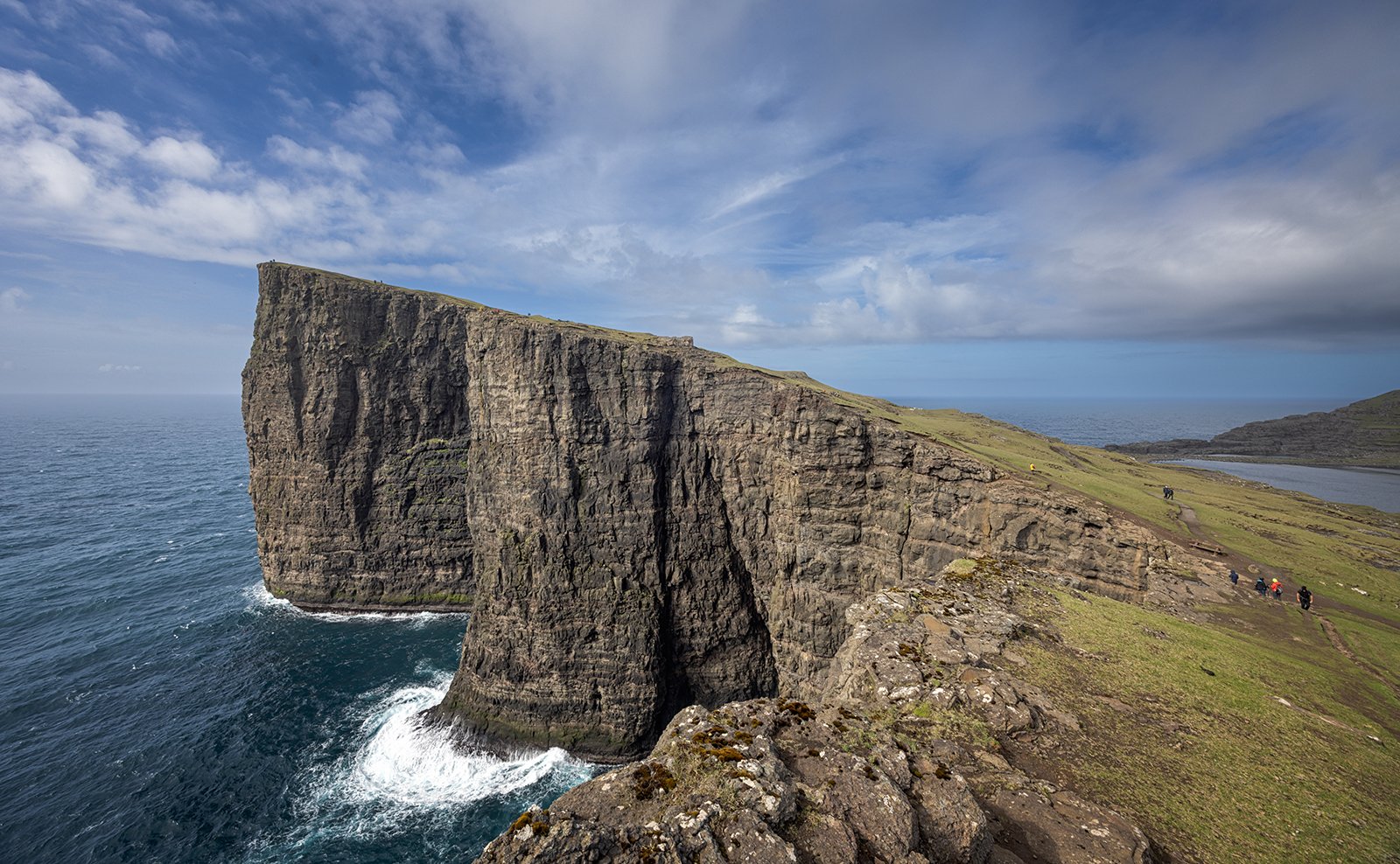
Traelanipan Cliffs
Once the view of the cliffs is reached, the path climbs quite steeply up to the viewpoint. Looking back towards the lake is the classic view, with the lake positioned above the sea, perched on top of the cliffs. It is a very wide view, so requires a stitched panorama to fit it all in, which adds even more distortion to the unusual view.
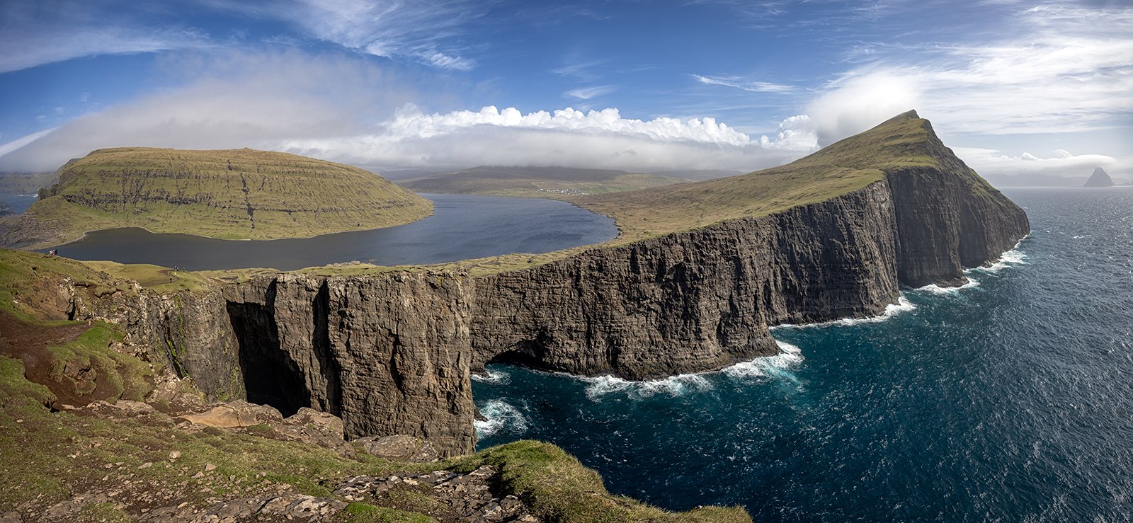
Sorvagsvatn View
Of course, on the climb up, it is necessary to stop and set up the tripod to capture the view.
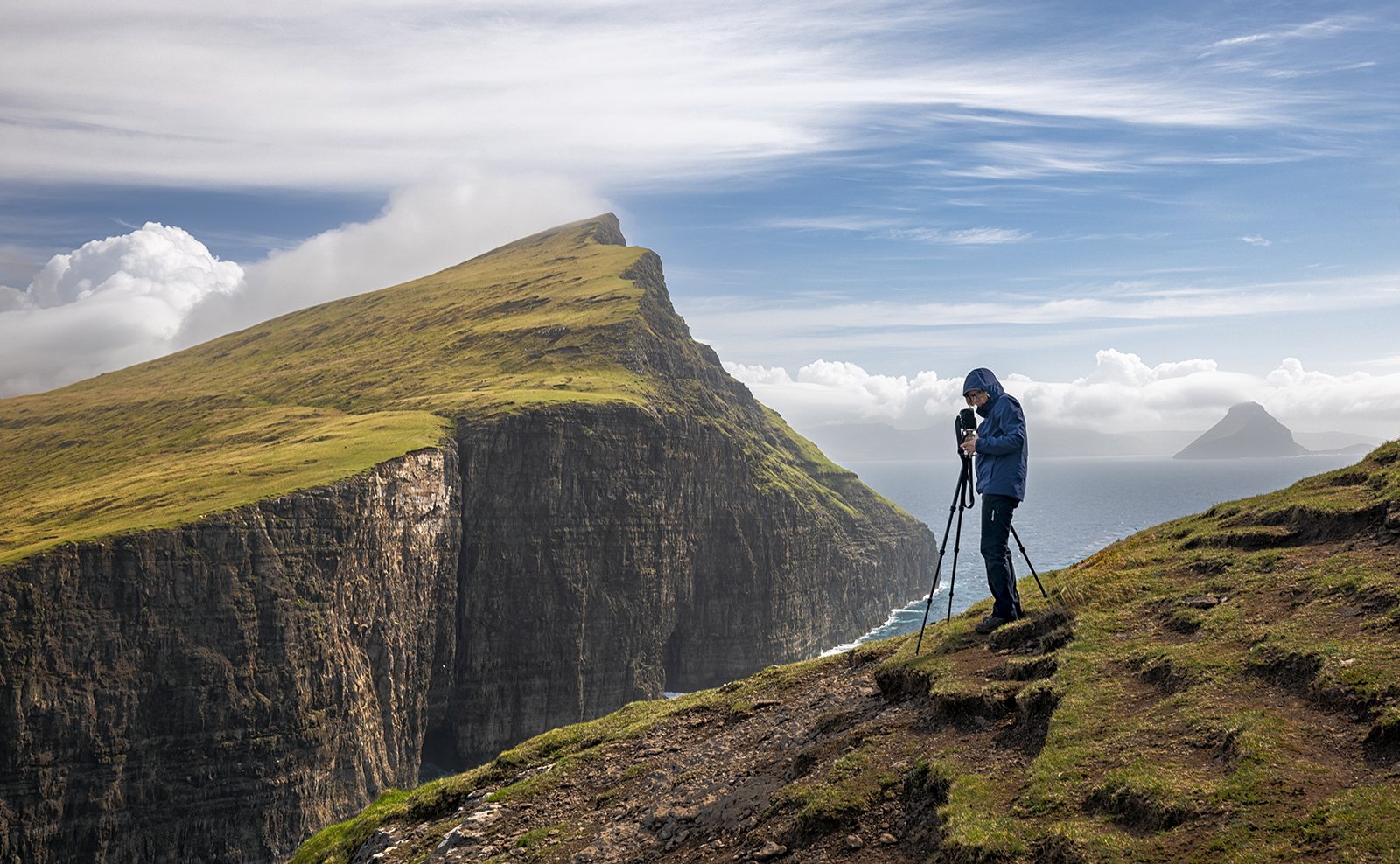
Carol on Traelanipan
From the summit viewpoint, we then dropped down towards the head of the lake. On the descent, there is a view north toward a prominent sea stack know as Geituskoradrangur – which translates as Goat Sea Stack. The stack stands about 380ft high.
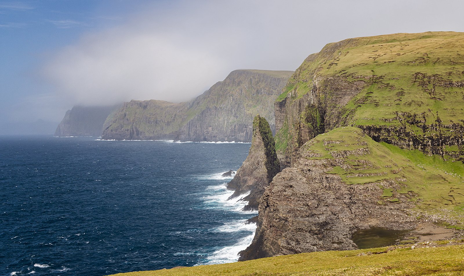
Geituskoradrangur Sea Stack
A view from lower down allows the full height of the stack to be seen.
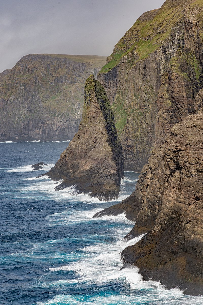
Geituskoradrangur Sea Stack
After exploring the Traelanipon area, we returned to the cafe at the start of the trail, and from there we could look across to the Trollkonufingur sea stack on the other side of the Vaga Fjord. With the weather still clear, we decided to end the day by doing a second short walk to the viewpoint for that sea stack as well. The start of the Trollkonufingur walk is from the town of Sandavagur, which is about a mile beyond Midvagur. There is a small parking area and this time, the short 20 minute walk is free. The Trollkonufingur, or Witch’s Finger is just over 1000ft high and rises as a slender spire, detached from some even higher cliffs. Due to the steep the terrain, it is not possible to get close to the stack, so this is a ‘one shot’ location, but the view of the vertical cliffs and the slender spire is impressive. By the time we reached the viewpoint, the clouds were moving in, and the top of the stack was beginning to disappear into the clouds, but we were lucky to get the view before it was completely obscured.
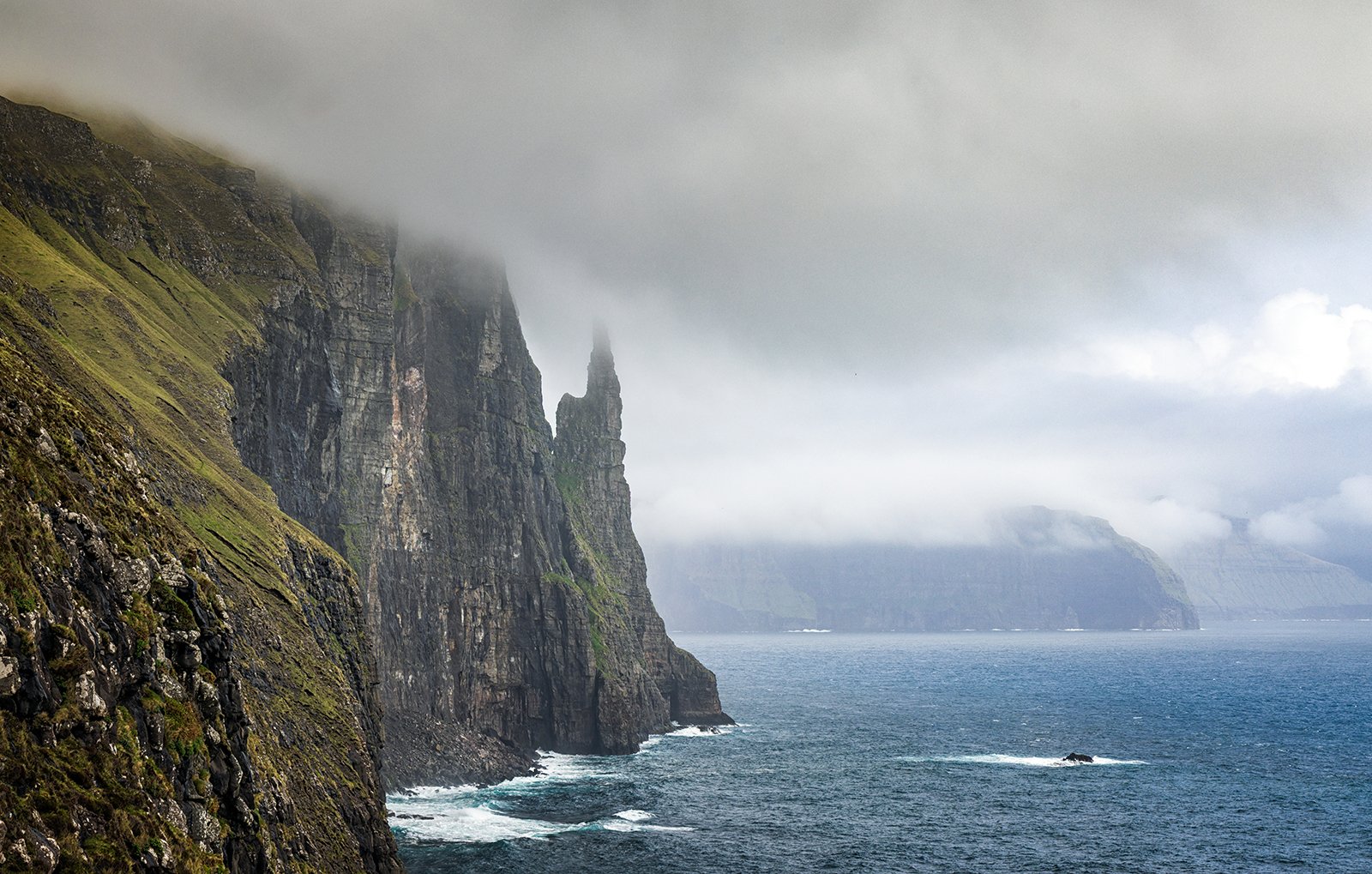
Trollkonufingur
After visiting the Trollkonufingur it was time to leave Vagar behind and transfer over to the island of Streymoy, the largest of the Faroe Islands. Our hotel for the next three nights was Hotel Foroyar located above the capital city of Torshavn.