22026 – Faroe Islands
26th May 2026
Day 5 – Saksun And Tjornuvik
Today we decided to visit Saksun and Tjornuvik, which are both at the north end of the main Lofoten Island of Streymoy. Leaving Torshavn, there is a drive of just over 20 miles along the east coast of Streymoy to reach the small town of Streymnes, where we found quite an attractive turf covered church. As you can see in the photograph below, it was a rather wet and overcast start to the day.
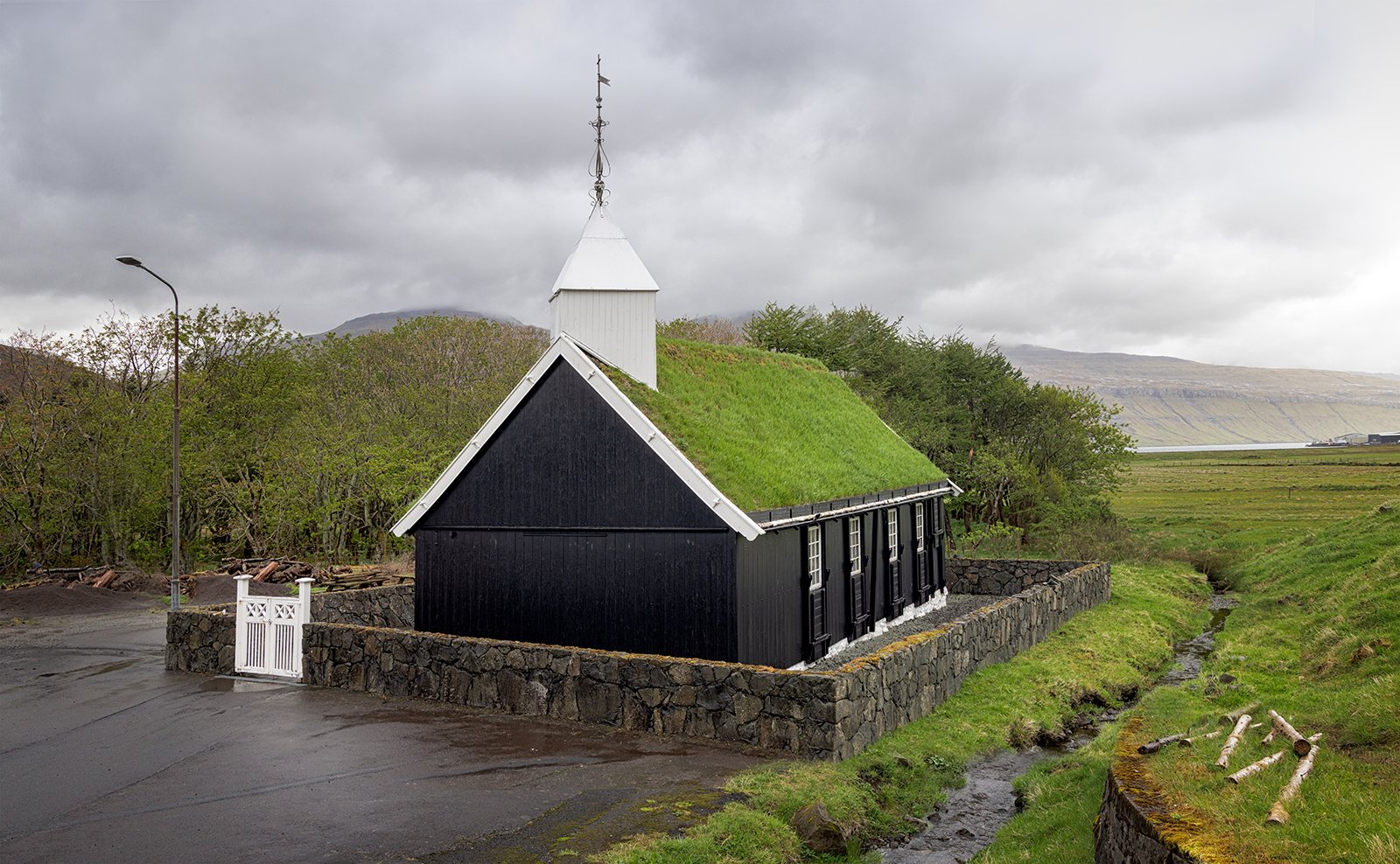
Streymnes Church
From Streymnes there is a 6 mile route inland, crossing the island to reach Saksun, which sits on the west coast. At Saksun, there is an open air museum, consisting of a small group of traditional Faroese farm buildings. There is also a small beach, but the buildings and car park are set well back from the sea, so there is a bit of a walk and a descent to reach the beach. Possibly because the weather was rather overcast, we decided not to bother with exploring Saksun for long, so just took some shots of the church, dominated by mountains that surround the village.
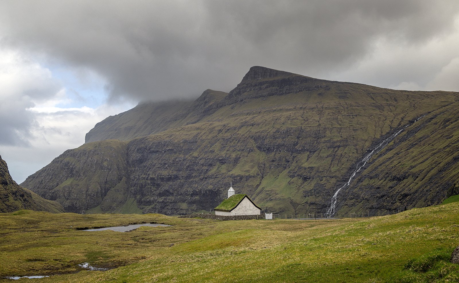
Saksun Church
Instead of exploring Saksun, we returned to Streymnes where we had spotted an attractive and accessible series of waterfalls where the Hala River tumbles down the hillside above the village.
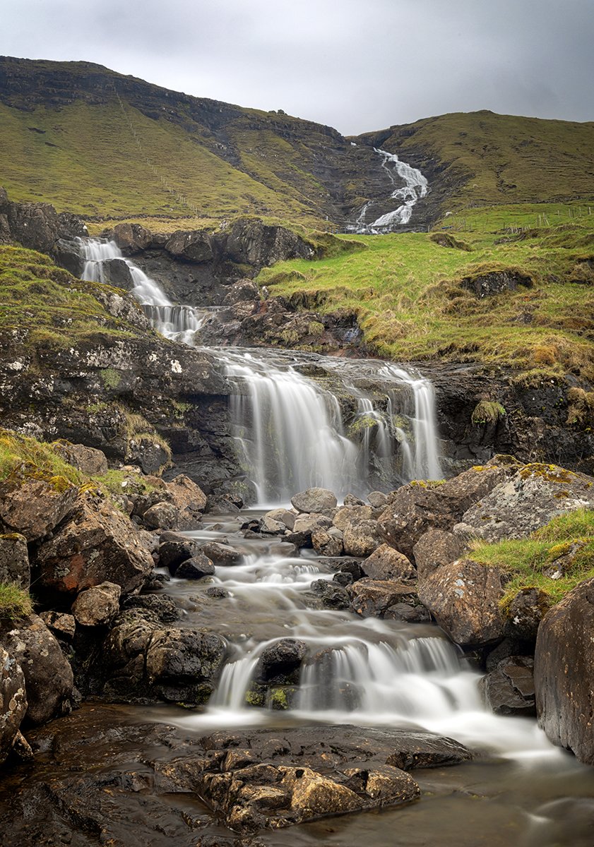
Waterfalls On The Hala River
From Streymnes, we continued along the east coast of Streymoy to reach the Fossa waterfall. This is the tallest waterfall in the Faroe Islands, with a total drop of 140m (450ft), split between two falls. The lower half of the falls is right beside the coast road, so is easily accessible. The larger upper falls are somewhat hidden, and only hinted at in the image below – the full height can only be appreciated in a view across the water from Eysturoy. Nevertheless, with a 200ft drop, the lower falls are still very impressive.
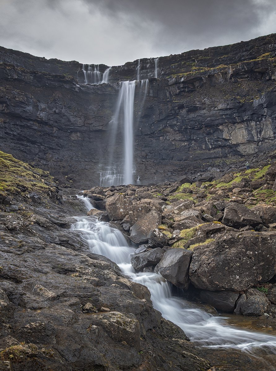
Fossa Waterfall
A short steep climb provides a side-on view of the lower falls. By this time there was a little more sunshine, giving some better contrast to the dark basalt rocks behind the falls.
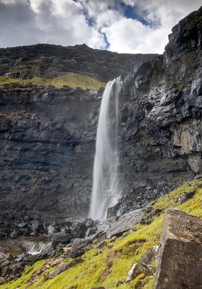
Lower Fossa Waterfall
From Fossa the coast road continues through the town of Haldarsvik, with its unusual octagon shaped church. Although it looks quite modern, it actually dates from 1856.
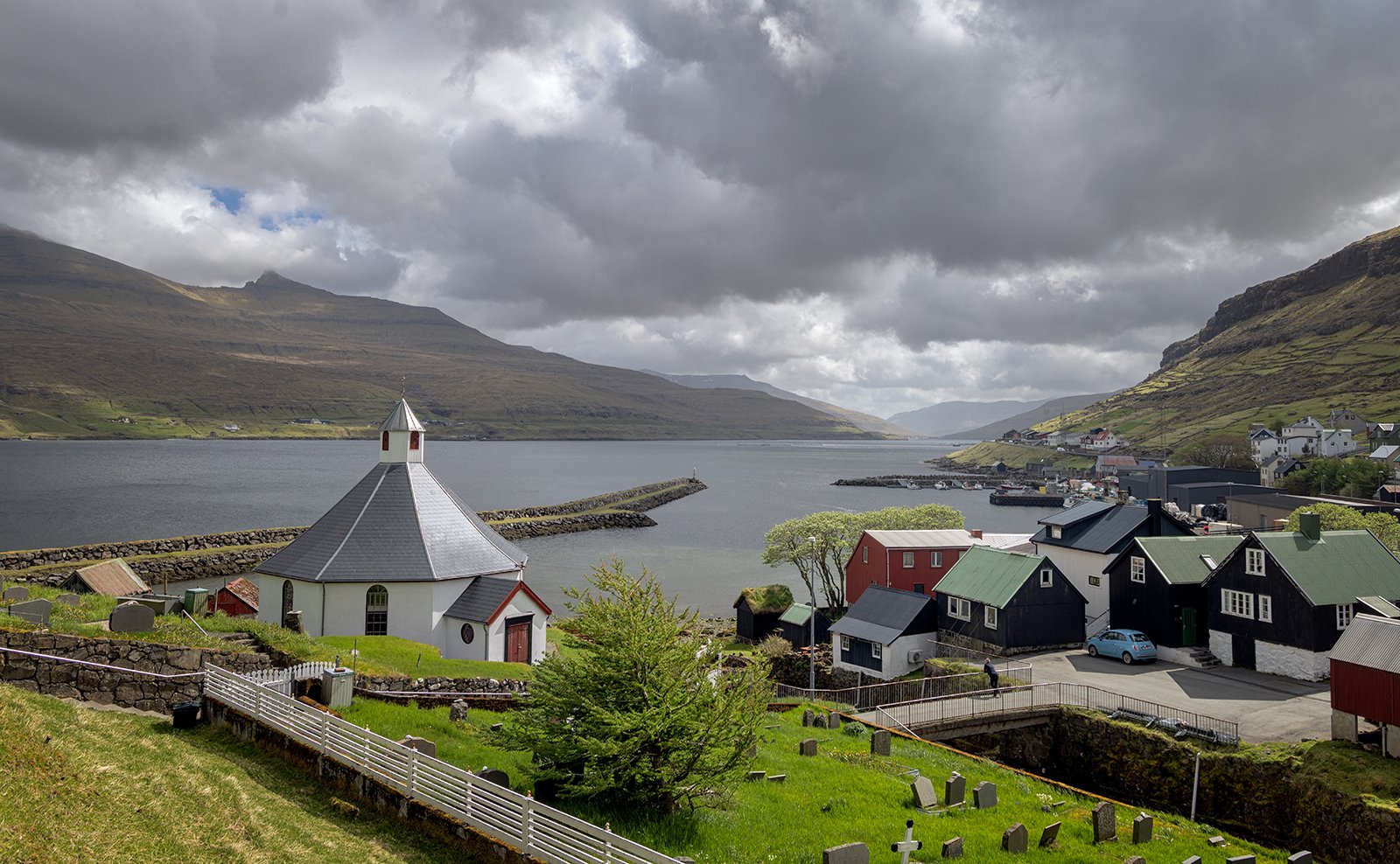
Hardalsvik Octagon Church
From Hardalsvik, the road narrows and takes a high route over the steep hillside to reach the village of Tjornuvik. Due to the danger of rock falls on this stretch of road, there are plans to connect the village via a new 2mile long tunnel. That would make the drive safer, but would cut out the spectacular view towards Eidi and the Eidiskollur mountain.
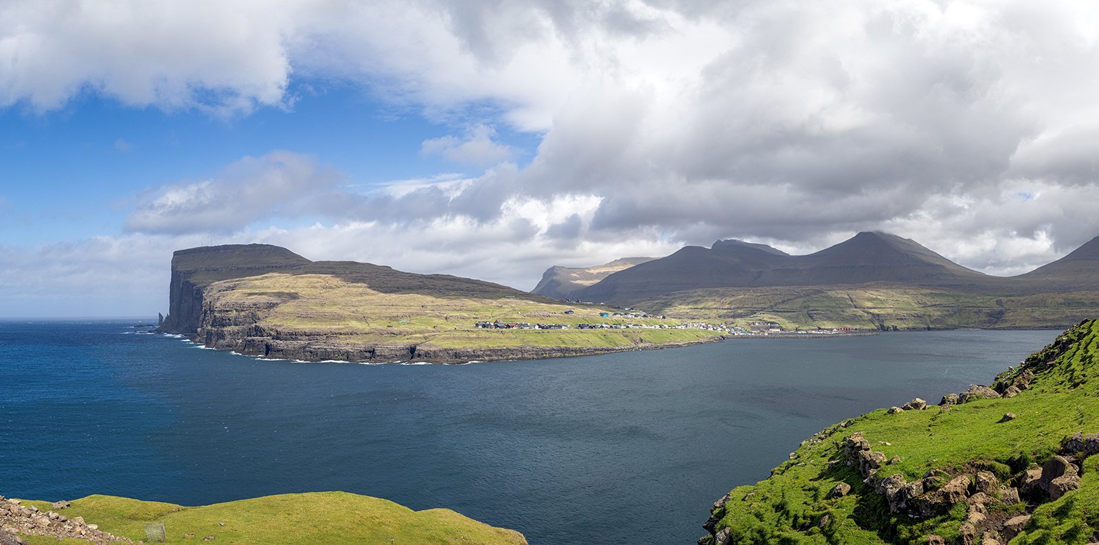
View Towards Eidi
The narrow road drops down to the small village of Tjornuvik, where there is a small black sand beach, with views out to the Risin og Kellingin sea stacks. These translate as the Giant and the Witch, and folklore is that they tried to tie a rope around the Eidiskollur mountain to tow it off to Iceland, but were turned to stone for their troubles. The beach provides some opportunities for some long exposure photography.
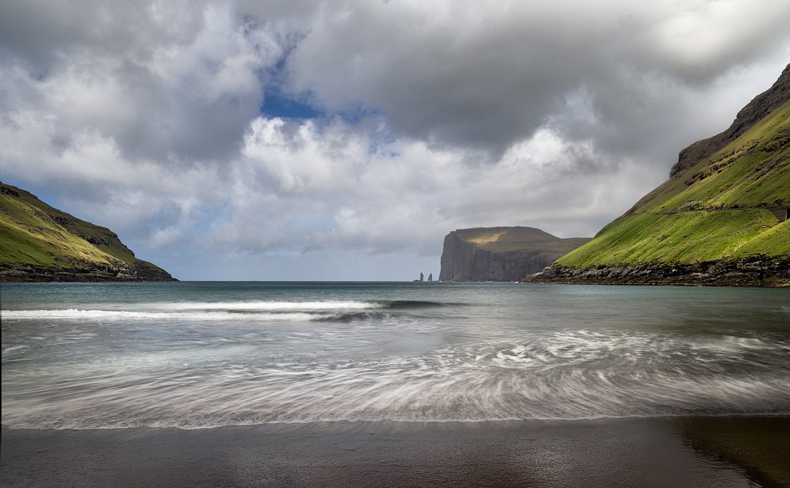
Tjornuvik Beach
The black sand contains a lot of textures which can be brought out in a mono image.
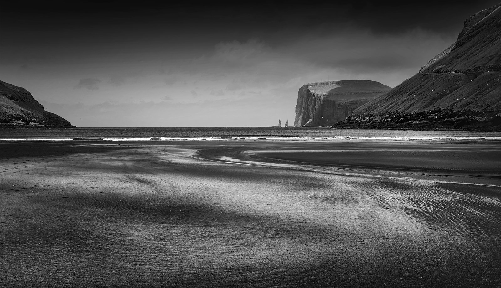
Tjornuvik Mono
A long telephoto shot gives more detail in the sea stacks, and shows that one of them (the Witch) may not last for many more years as the sea arch at its base is already heavily eroded.
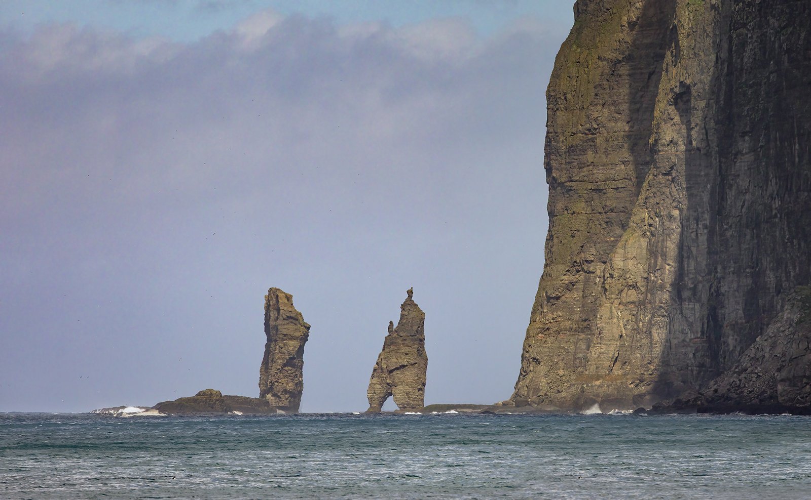
Risin og Kellingin Sea Stacks
After visiting Tjornuvik, we drove back to Torshavn, but stopped at the town of Kollafjordur for a picture of yet another green turfed church. As can be seen in the image, the day ended rather brighter than it had begun.
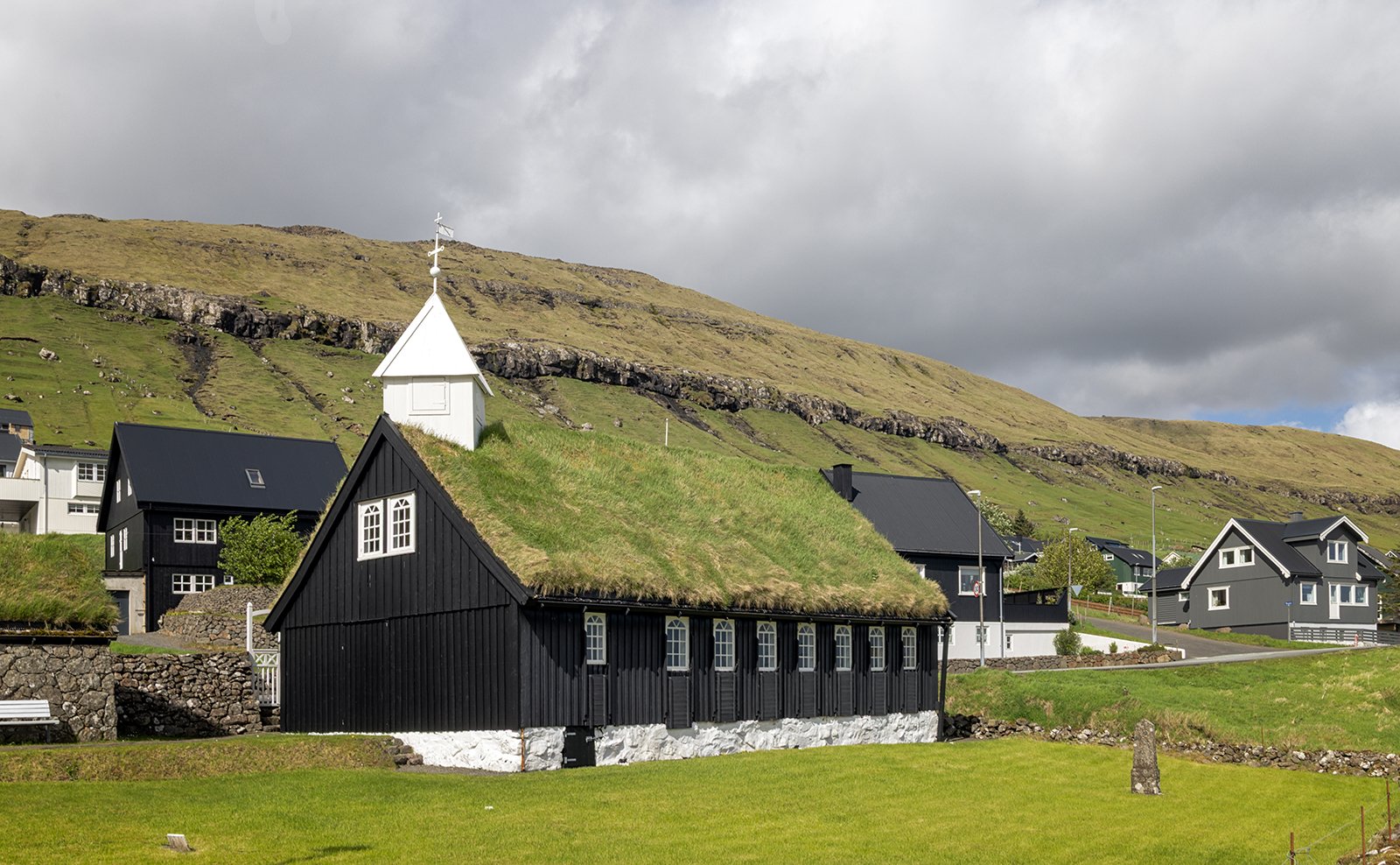
Kollafjordur Church