22026 – Faroe Islands
2yth May 2026
Day 6 – Torshavn To Klaksvik
Today was a transfer day between Torshavn and Klaksvik, the second largest town in the Faroe Islands. We decided to spend the morning exploring the harbour and old quarter of Torshavn before setting out for Klaksvik after lunch.
Our hotel was situated some height above the city, so we started the day by taking in the wide panoramic city view from the hotel grounds.
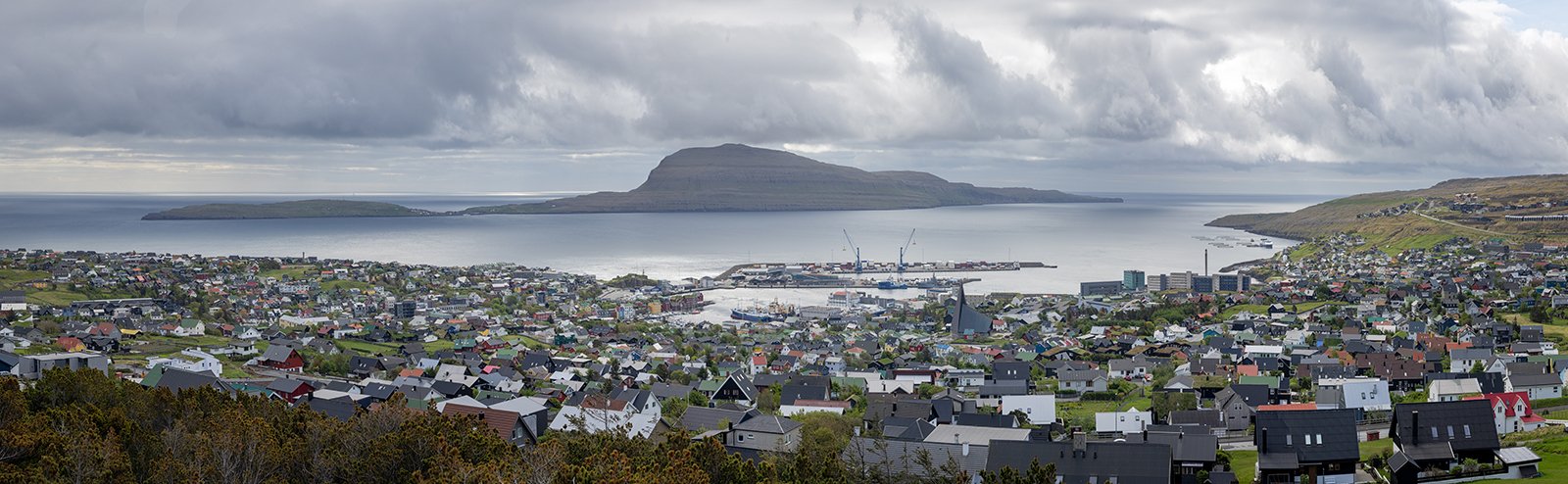
Torshavn Panorama
We then drove down to the harbour area to photograph some of the small boats, with some colourful buildings in the background.
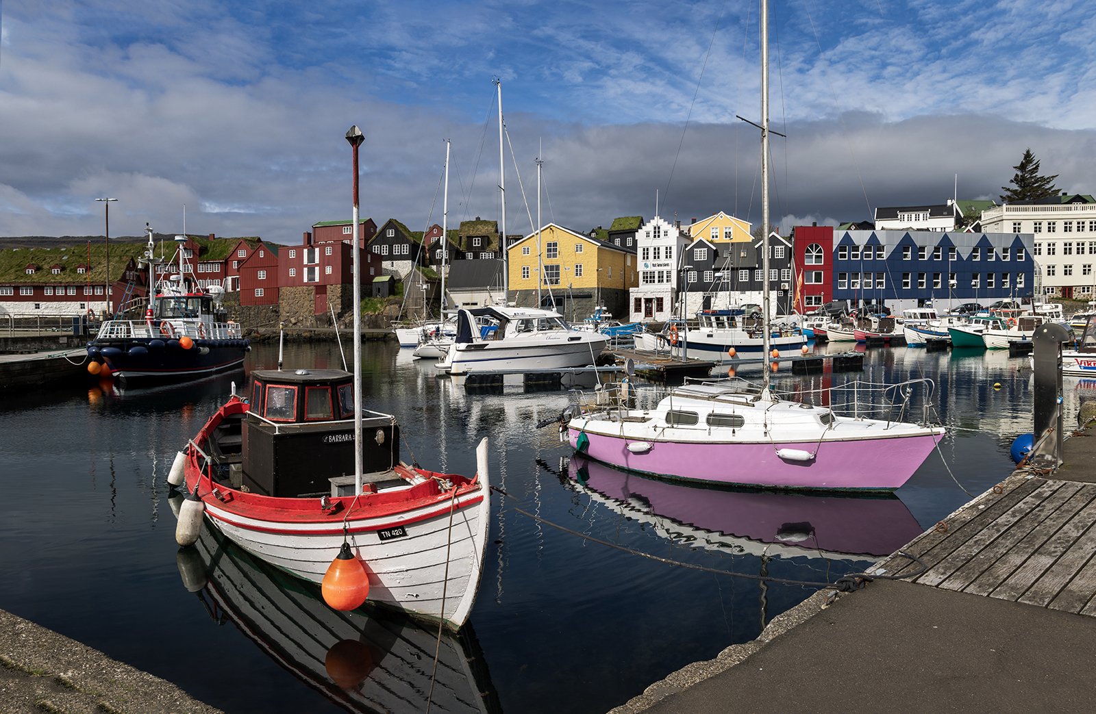
Torshavn Harbour
In addition to the small boats, there were also some impressively large pelagic fishing trawlers in the harbour which were undergoing maintenance. This type of industrial scale trawler drags huge nets through the sea at a specific depth (instead of along the sea floor) to hoover up shoals of fish such as mackerel. The fish are then processed and immediately frozen for storage on the ship. The two ships to left and right are the Brendelen and Father McKee, both from Ireland and the larger centre ship is the Bardi from Iceland. The sense of scale is emphasised by the small traditional Faroese fishing trawler in the foreground.
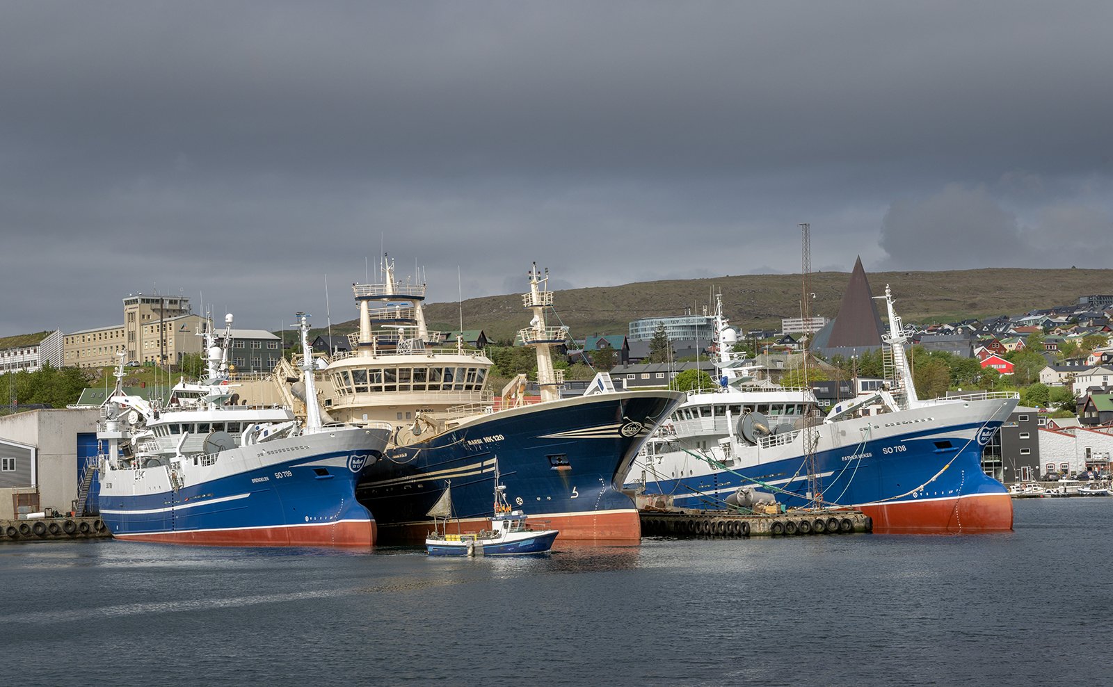
Pelagic Fishing Boats
Around the harbour we also came across some statues. The first one was to represent the Oystercatcher, which is the national bird of the Faroe Islands, showing it defending itself against a much large seagull.
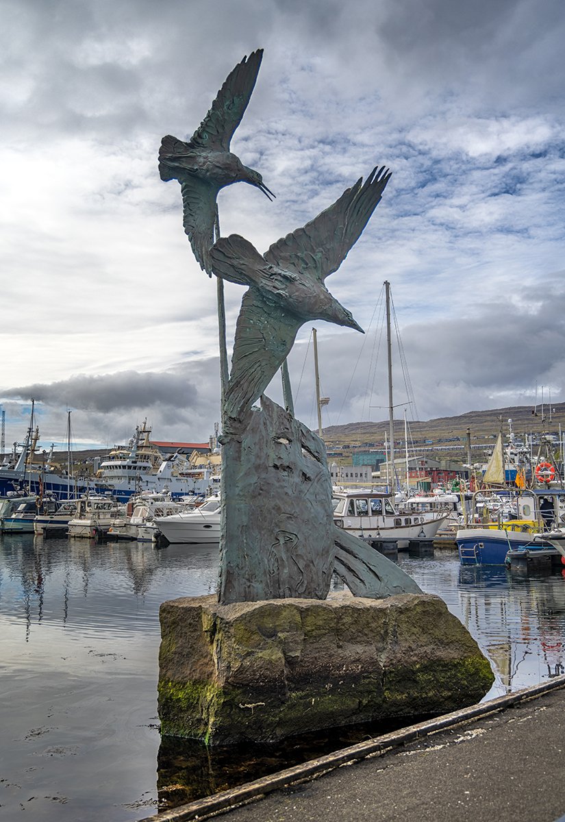
Oystercatcher Statue
The second statue was to commemorate the women who used to work at washing and salting cod around the harbour – an activity which endured up to the 1960’s.
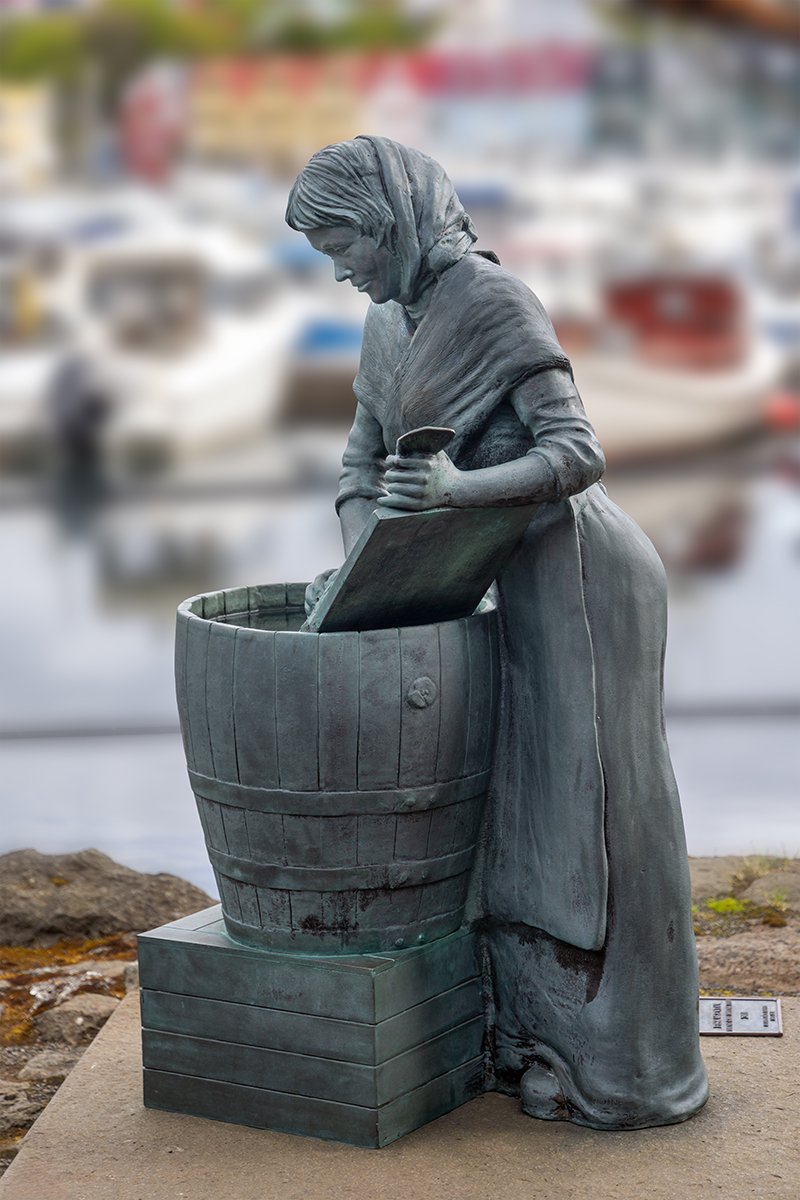
Washing The Cod
After exploring the harbour, we visited the Tinganes area of Torshavn. This is situated on a rocky peninsula which splits the harbour in two, and was the location of the original Viking assembly, dating back to about 825AD. The characteristic red painted building date from the 16th to 17th century, and today house a lot of the Faroese government. One of the most prominent buildings is the Skansapakkhusid (Fort Warehouse), which today is the Prime Minster’s Office.
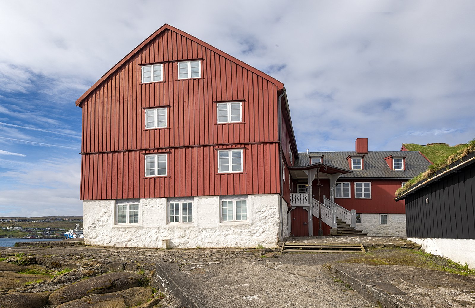
Skansapakkhusid – The Prime Minster’s Office
This quaint area of Torshavn features narrow cobbled streets, with a notable absence of any security. It was unusual to walk past a small building with a sign declaring it as the Ministry of Finance.
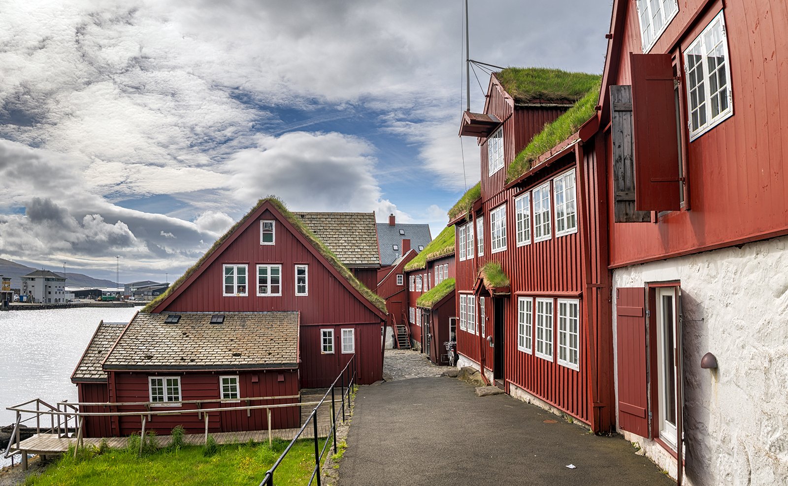
Tinganes Government Buildings
After exploring the Tinganes area, we found an attractive cafe for lunch, adjacent to a small garden known as Boysensgardur. There was a pleasant display of bluebells, irises and hostas in this quiet oasis in the city.
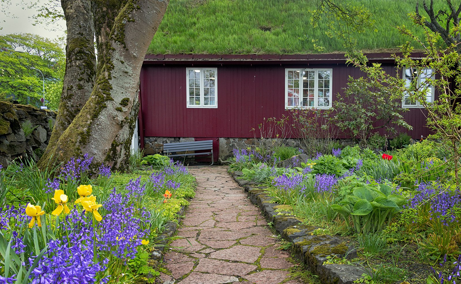
Boysensgardur
After lunch, we set out for Klaksvik. The first part of the drive followed the same route as yesterday, towards Streymnes. We then crossed a bridge to the island of Eysturoy and headed south towards the village of Skipanes, where we found a good old trawler to photograph.
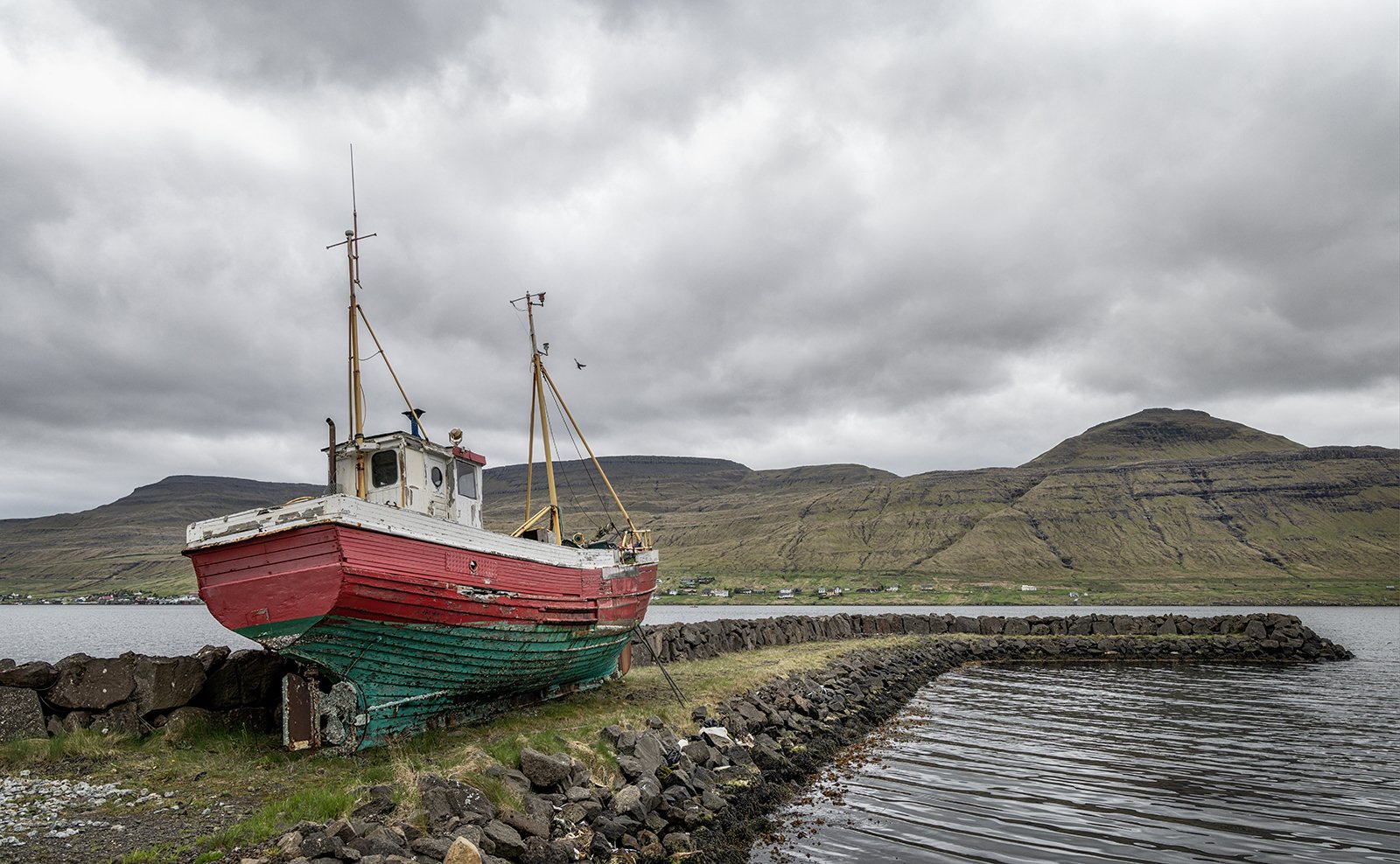
Skipanes Trawler
Instead of driving directly to Klaksvik, we decided to continue south towards Toftir. There are a few towns around this area which were not particularly attractive, so we headed for the nearby Lake Toftir, which took us to the small village of Rituvik. This is a small collection of scattered buildings, but we did have some good overcast cloud textures.
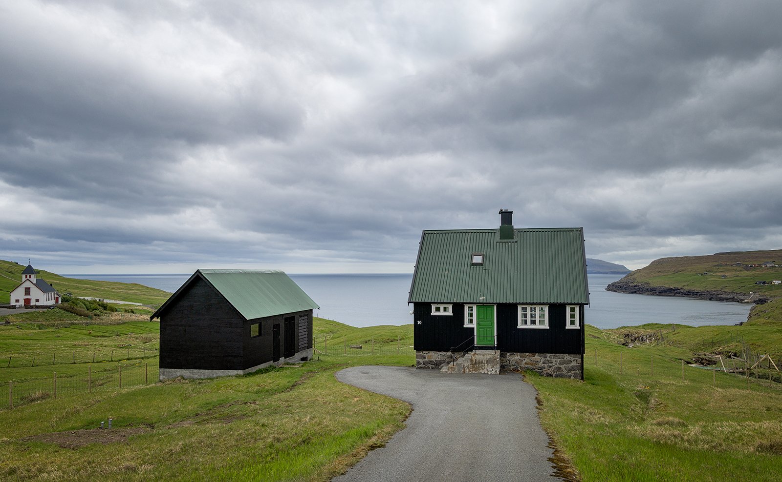
Rituvik Buildings
Of course there was also the inevitable church to photograph. This was quite modern, dating from the mid 1950s, and was notable because a lot of the construction work was handled by the local people of Rituvik.
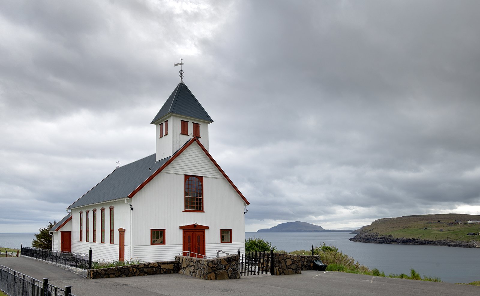
Rituvik Church
The only other thing to photograph in Rituvik were the local sheep, some of which had rather splendid horns.
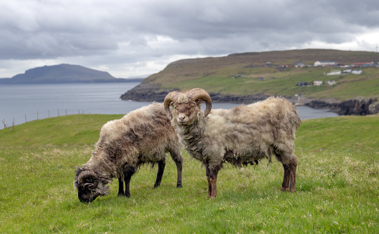
Rituvik Sheep
From Rituvik we returned towards Skipanes, then climbed over a ridge just to the south of the Stodlafjall mountain. From the top of the ridge we had an expansive view of Stodlafjall to the right and Gotuvik Bay to the left.
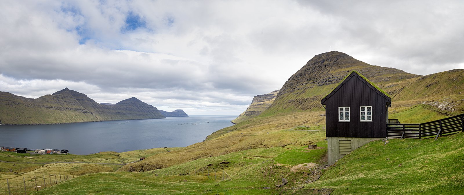
Stodlafjall and Gotuvik Bay
Finally, we drove through the town of Leirvik and took the underwater tunnel to cross to the island of Bordoy where Klaksvik is located.
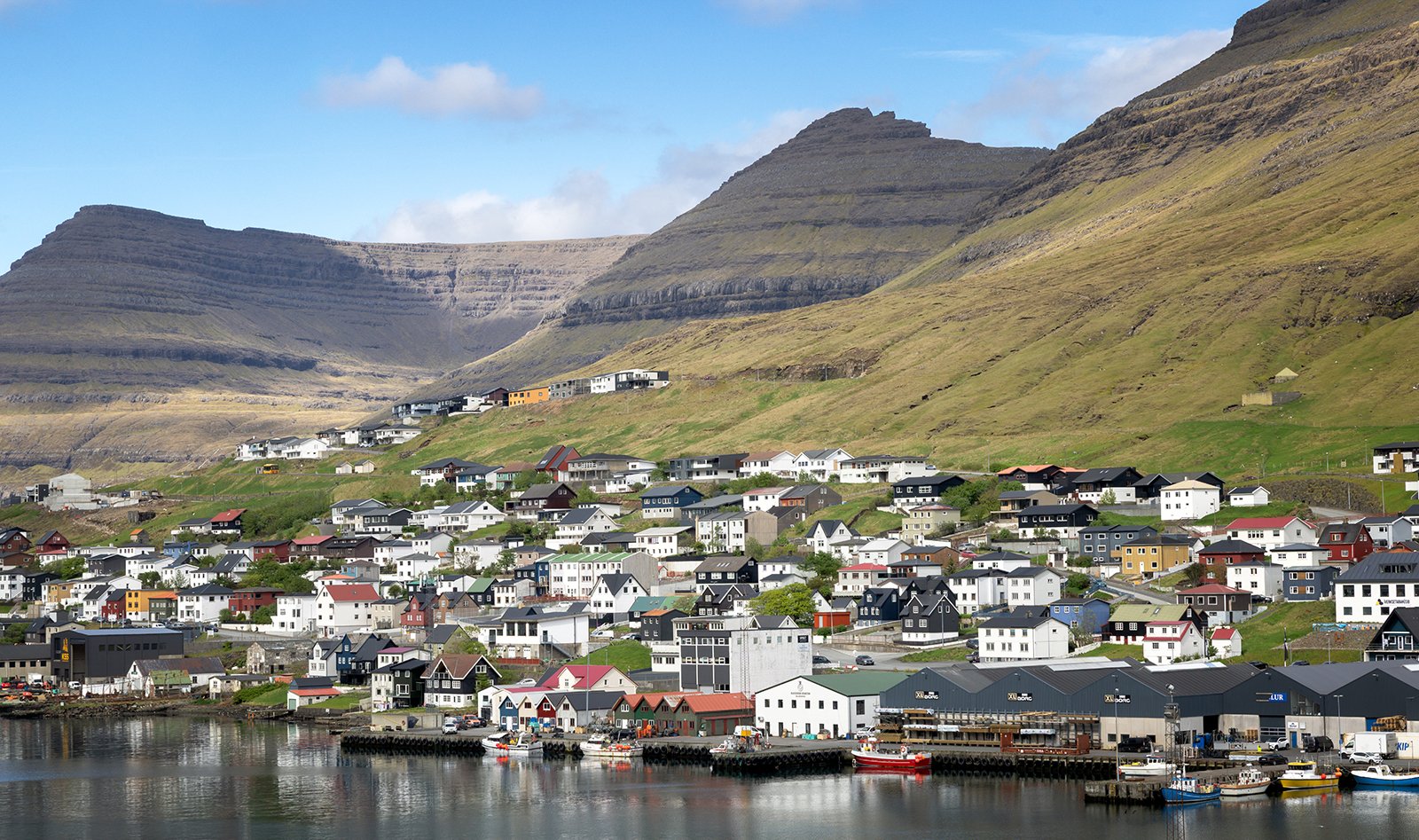
Klaksvik