22026 – Faroe Islands
23rd May 2026
Day 2 – Sorvagsfjordur
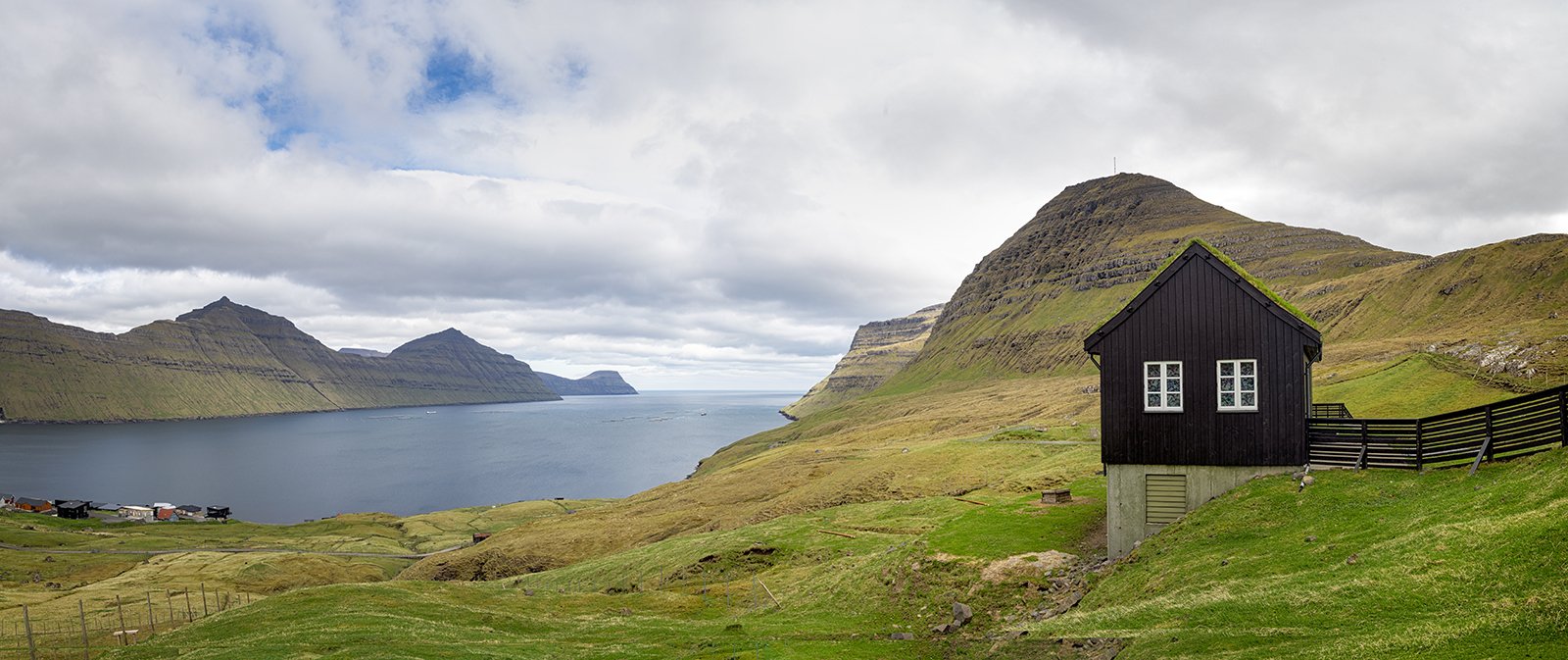
Today the weather continued rather overcast. We decided to visit the most famous landmark in the Faroe Islands – the Mulafossur waterfall. This is reached by a short drive along the north side of the Sorvagsfjordur – the same fjord that we had sailed down towards Mykines the previous day. Although the drive only takes about 15 minutes, we managed to spend most of the day on this short trip.
Our first stop was at Breidafossur, which is an attractive waterfall right beside the road between Sorvagur and Bour. At about 40 feet heigh, it is relatively modest by Faroes standards, but is an attractive set of falls, fed by the Vatnsdalsvatn Lake, tucked into the hills far above the waterfall.
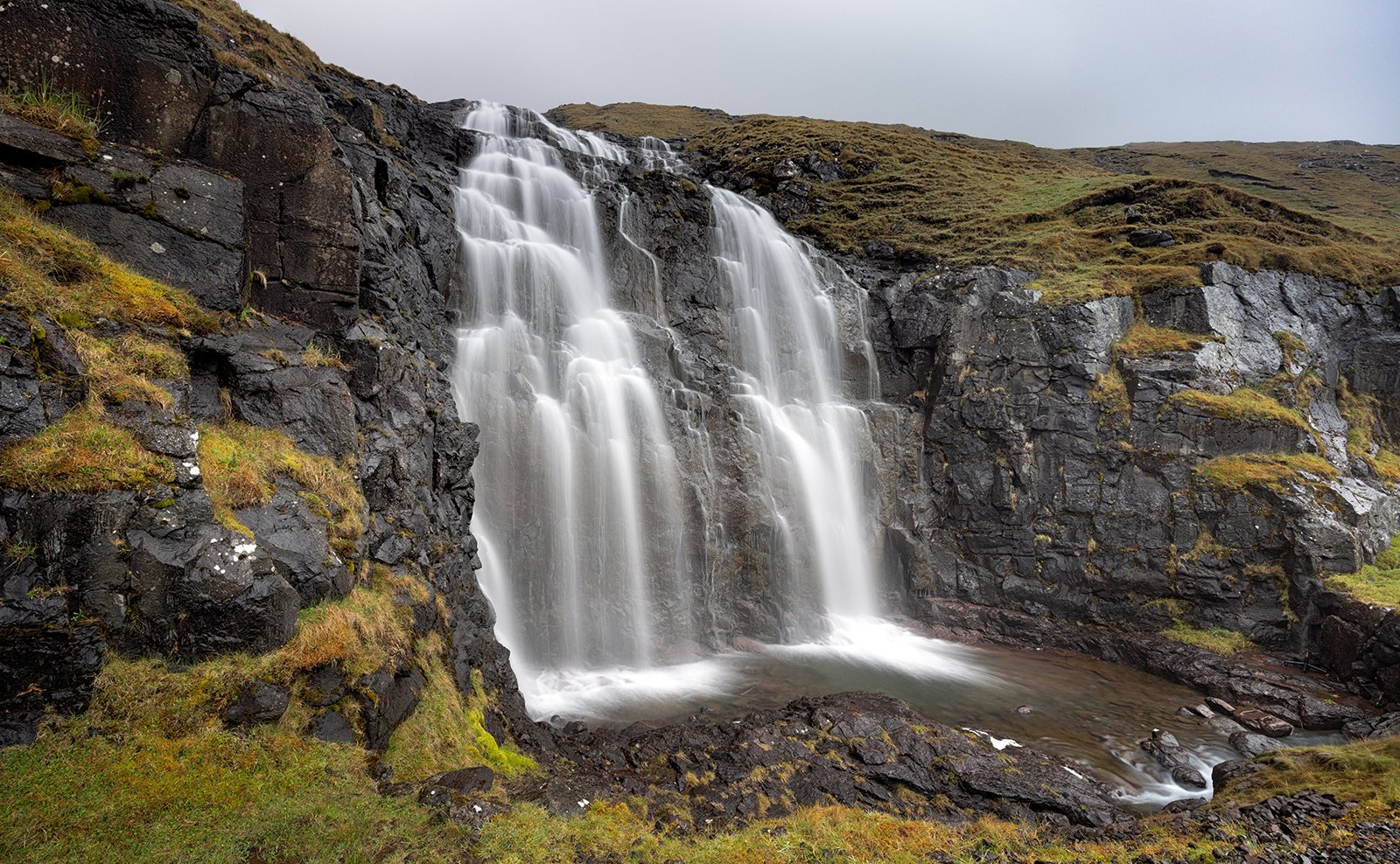
Breidafossur
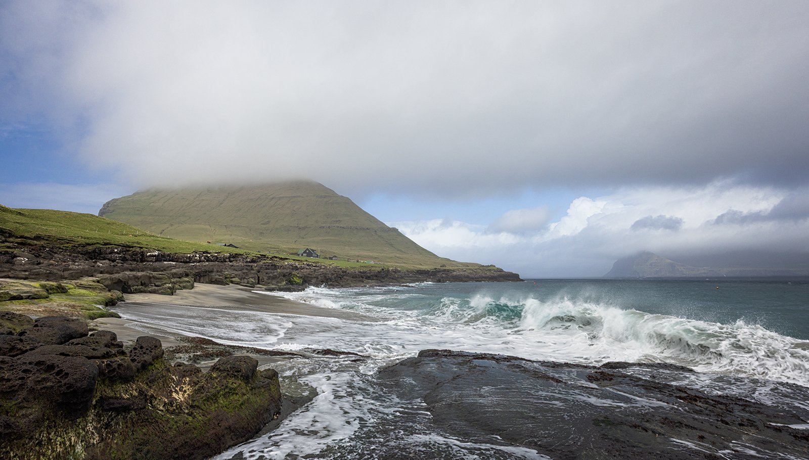
Next to the waterfall is a large lay-by which gives access to a small beach on the Sorvagsfjordur. We spent some time here, looking for the right composition for the rather grey, overcast conditions.
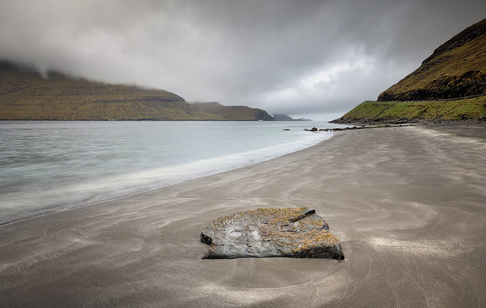
Sorvagsfjordur Beach
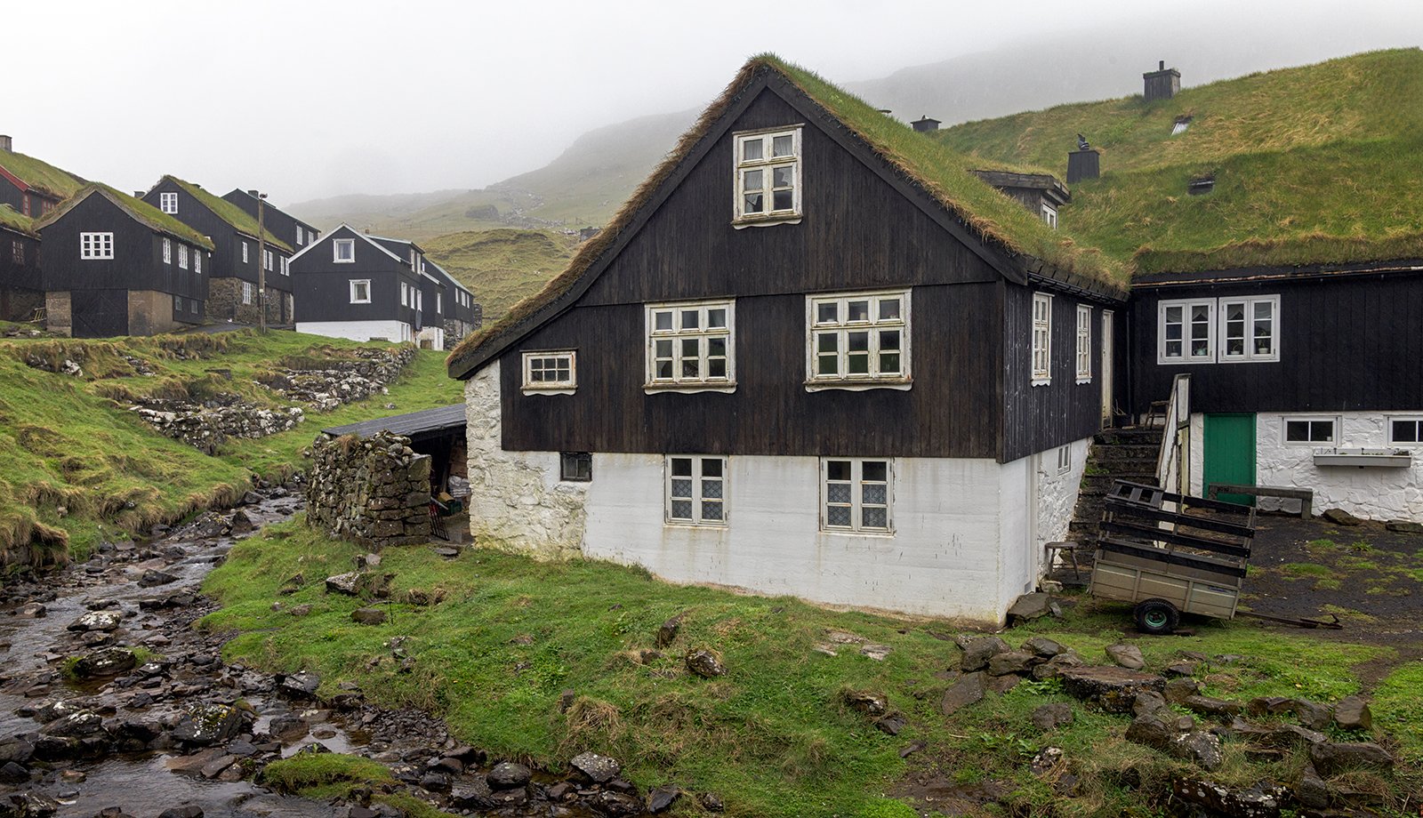
Next we drove on towards the small village of Bour. This was a very small village, but with lots of character as many of the buildings had traditional Faroese grass roofs. As is typical in the Faroe Islands, there is always a stream running through the village which provided fresh water to the original settlers.
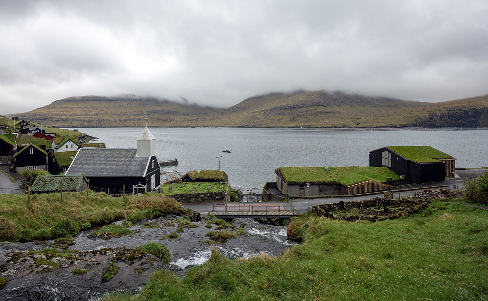
Bour Village
The stream at Bour descends through the village in a series of attractive cascades.
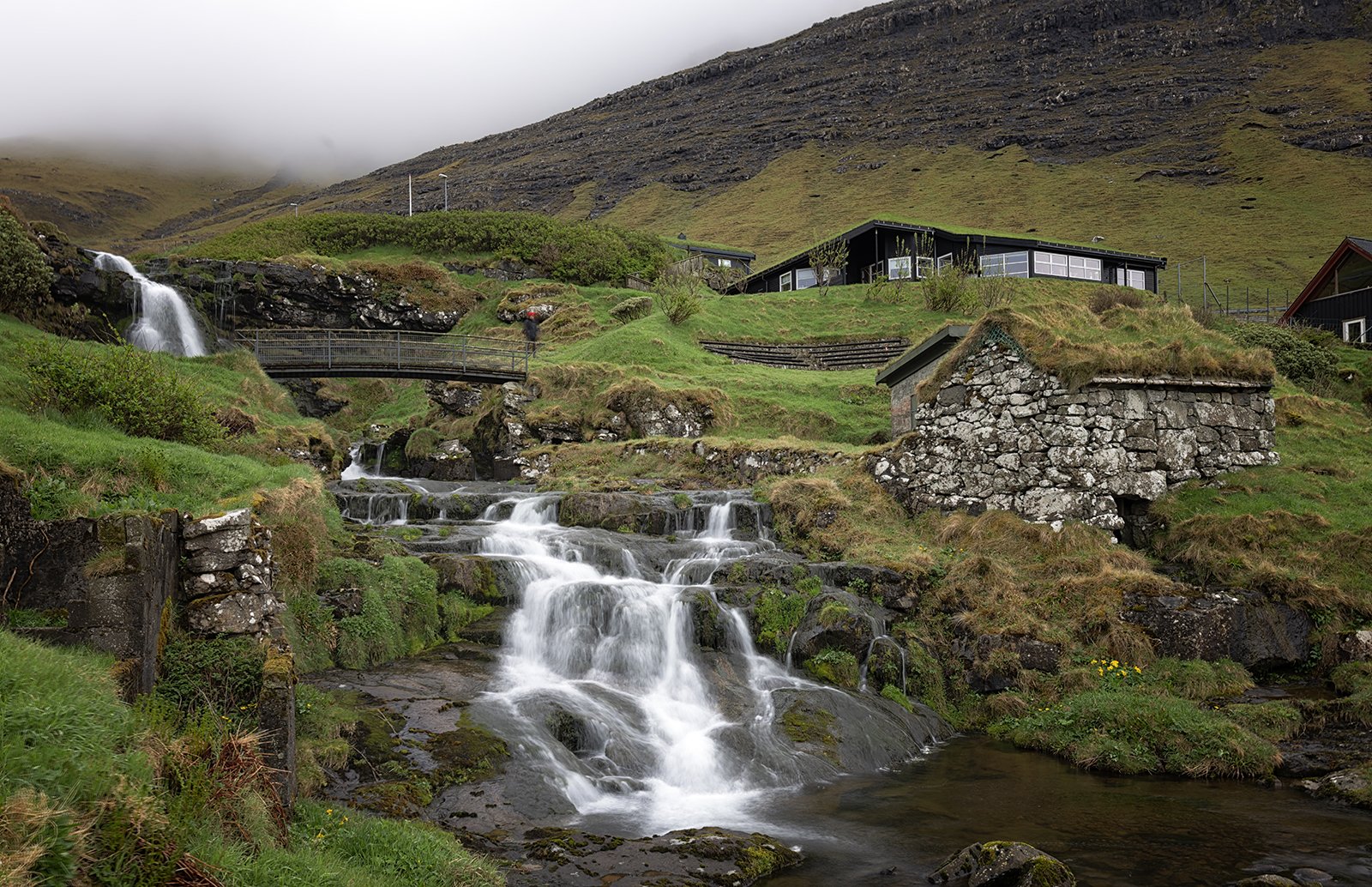
Cascades at Bour Village
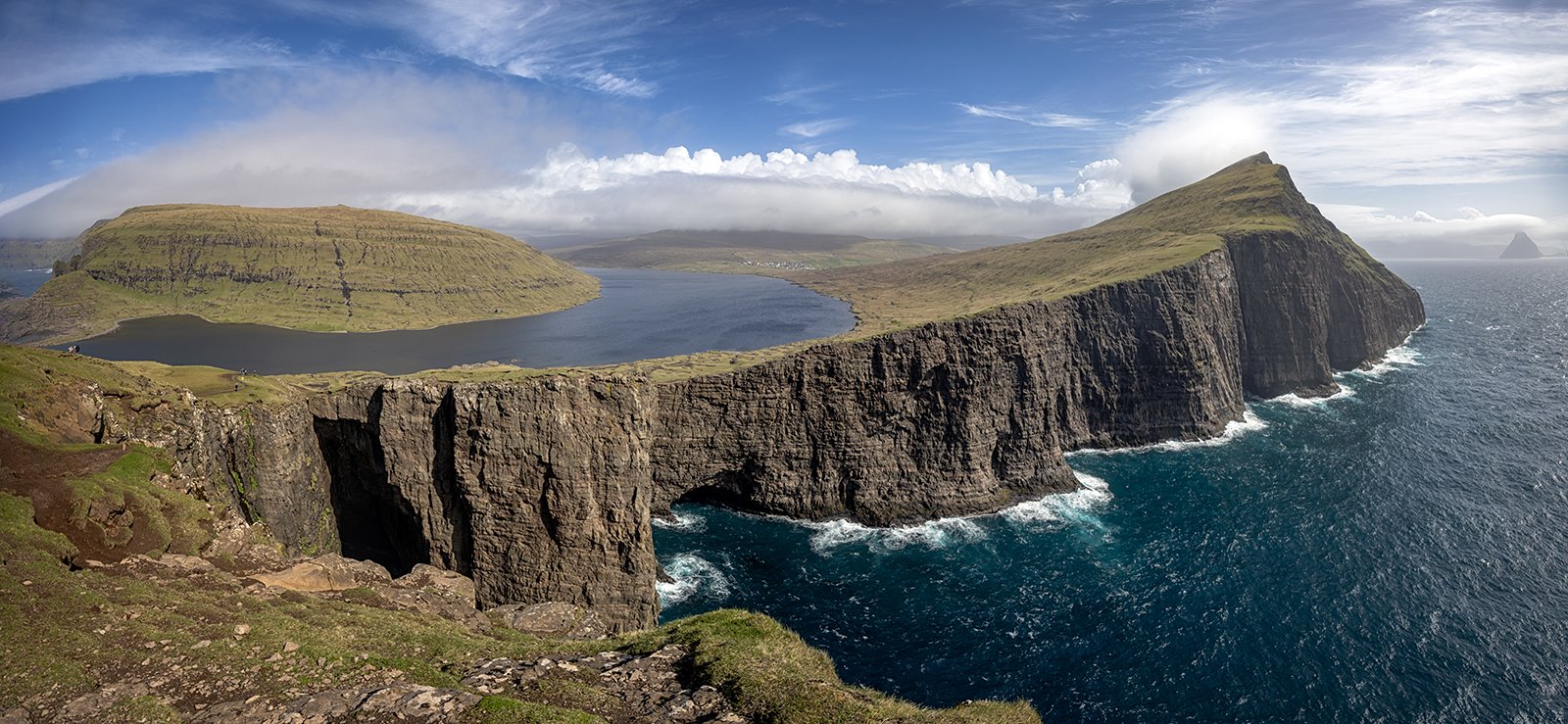
Beyond Bour, the road climbs high above the fjord, and a layby provides a view towards the Draganmir rock arch and the island of Tindholmur. Tindholmur is famous for its spikey summit ridge, which rises steeply almost 900ft above the fjord, but today, the summit was lost in the low clouds.
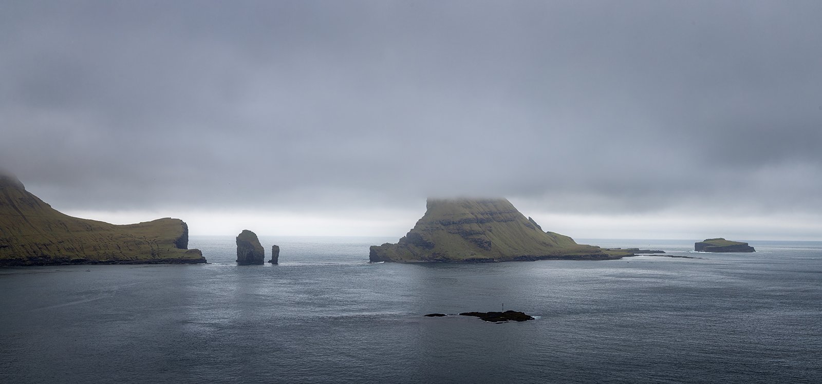
View Towards Tindholmur
Continuing on from the viewpoint, the last village of Gasadalur is reached through a 1.4km tunnel. Just before the village is reached is the most famous view in the Faroe Islands, the Mulafosser waterfall, which falls 100 feet directly into the sea with the village of Gasadalur perched above it. It is interesting to note that the tunnel was only opened in 2006, so before that time, access to the view would have involved a strenuous walk from Bour.
Although the village only has about 15 inhabitants, it has a cafe, so we stopped off there first before returning for the view of the waterfall. There is a large parking area and a short path out to the viewpoint. Although the day remained very overcast, and the mountain behind Gasadalur remained hidden, a little processing gives the impression of light falling on the village. The best view is obtained by going as far along the path as possible. – only right at the end of the path is it possible to see the full drop of the falls. Sadly, an extension to the path, which would have given an even better view, is now cordoned off due to recent erosion.
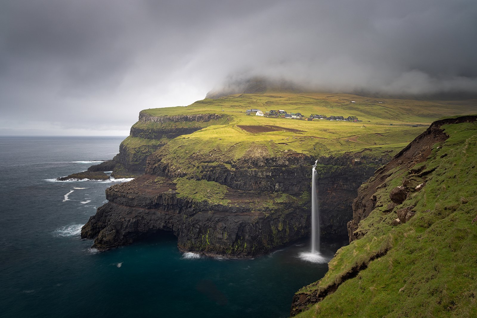
Light on Gasadalur
Numerous sea birds were flying in and out of the cliffs around the waterfall, so I tried to take a close-up, and capture them circling the falls.
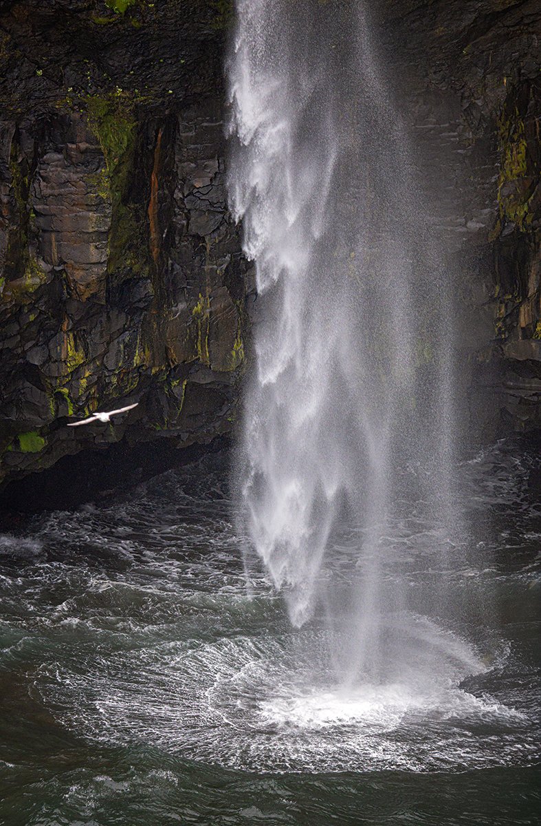
Mulafossur Close-Up
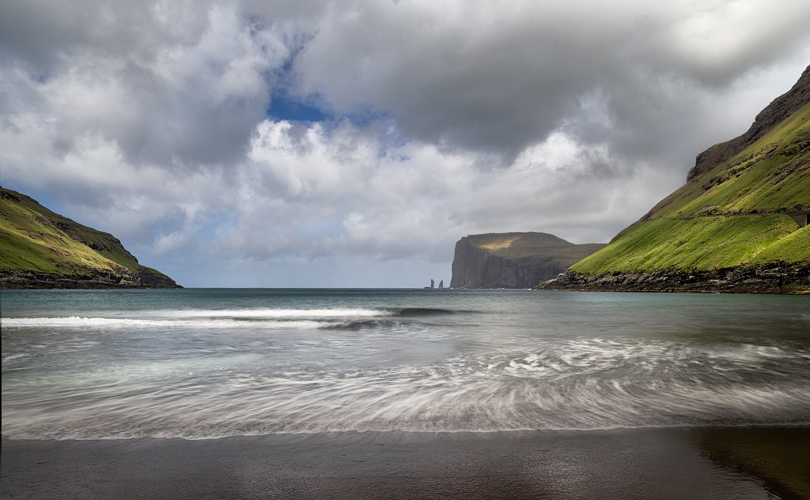
After visiting Gasadalur, we returned to the hotel for dinner, but later in the evening it looked like there would be better light around sunset, so we decided to return to Mulafosser. Along the way we stopped off at some scenic lodges outside of Bour, which gave some good foreground interest for the view towards Draganmir and Tindholmur.
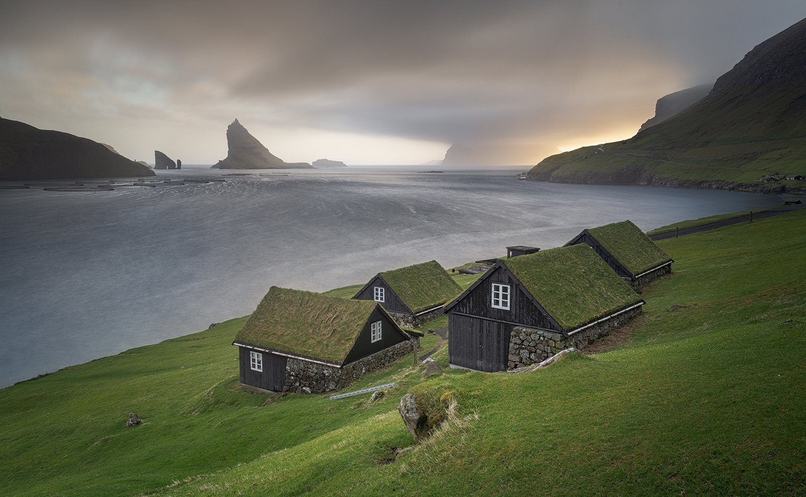
Storm Light over Drangarnir
By the time we arrived at Mulafossur, the sun was directly behind the waterfall, making exposure very difficult. The image below is a 7-shot HDR image, where bright an dark parts of the view are taken from different exposures and blended for the final image.
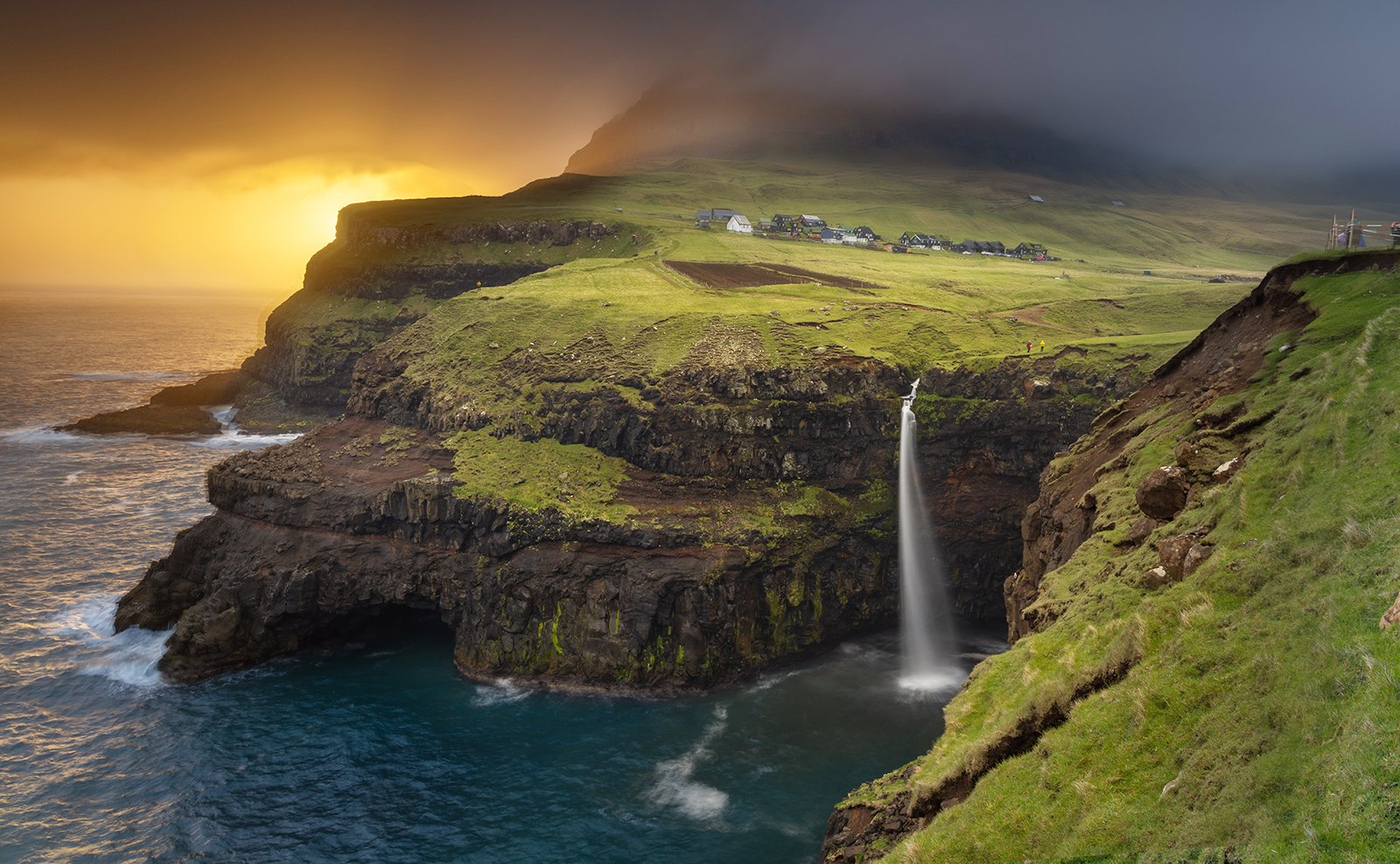
Last Light at Mulafossur
A little artistic licence has also been applied to illuminate the village above the waterfall!