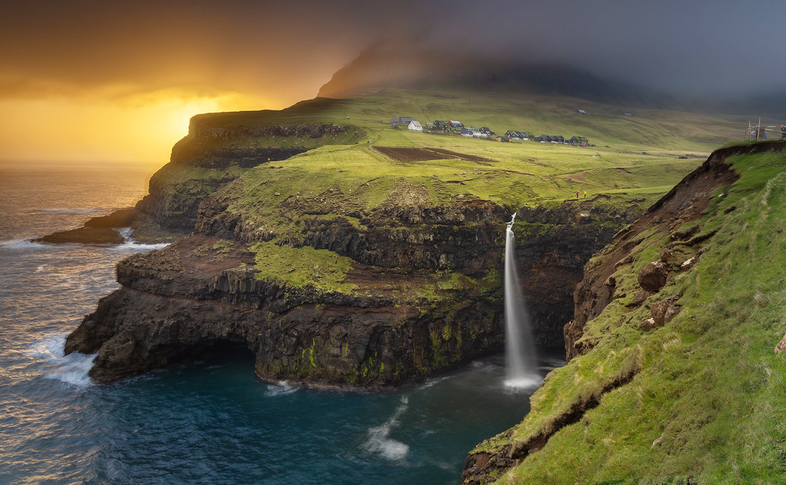
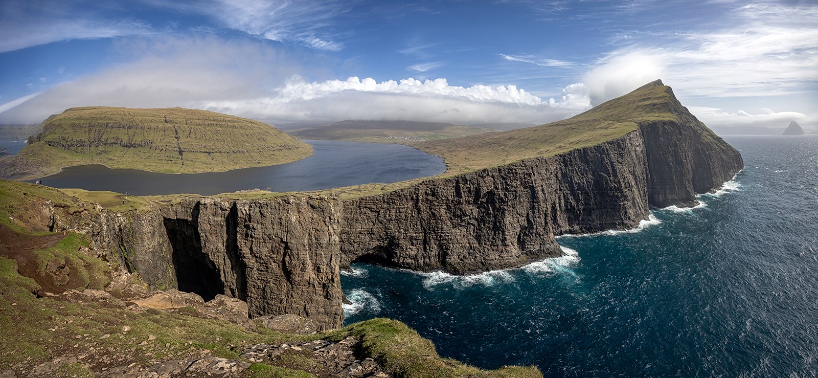
2026 – Faroe Islands
28th May 2026
Day 7 – Kunoy, Vidoy and Northern Budoy
From our new base in Klaksvik, we decided to explore the northern islands of the Faroes. These take the form of four parallel ridges that run north-west from Klaksvik – Kalsoy, Kunoy, the northern part of Budoy and Vidoy. Probably the most dramatic scenery is on Kalsoy, but this can only be reached by a small ferry which has limited spaces, so visiting that island would have taken up the entire day. Instead, we decided to visit the other three islands which are all linked by causeways.
Heading north from Klaksvik we had a wonderful view of Kunoy, looking forbidding under an overcast sky.
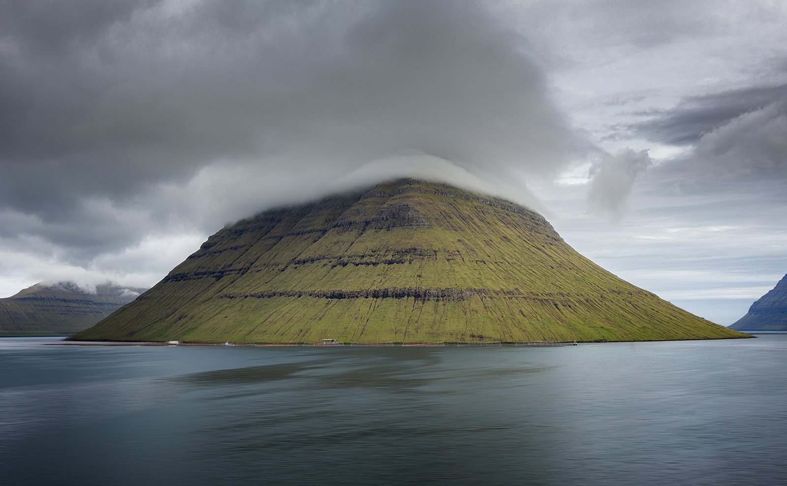
Kunoy Across The Haraldssund Strait
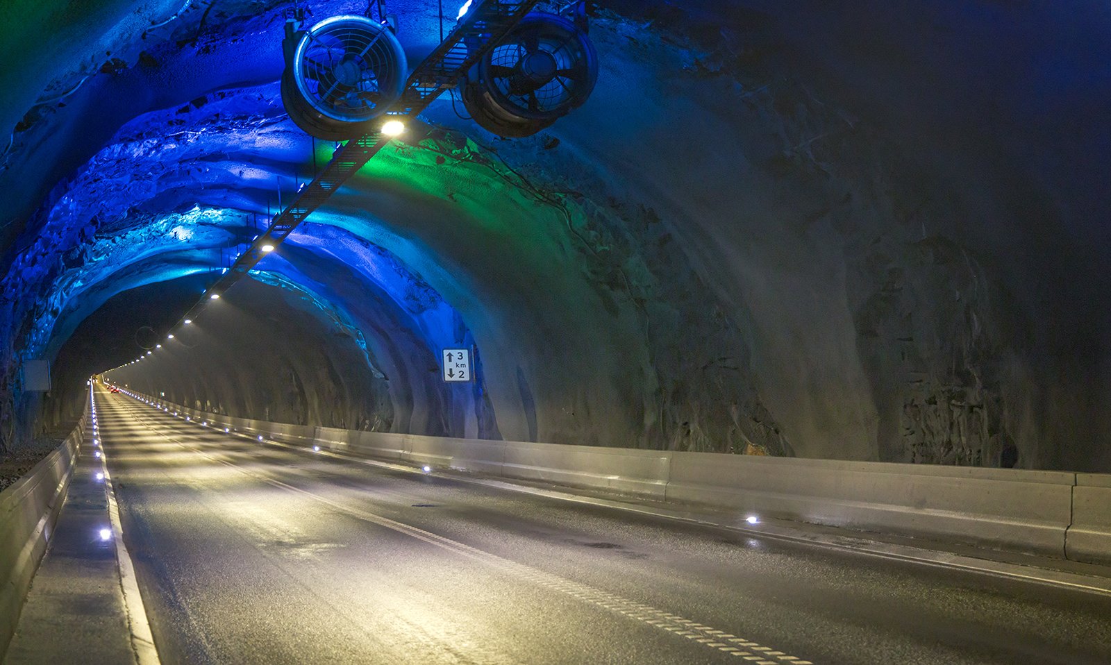
We then crossed over the Haraldssund Strait to Kunoy, where there is a narrow, unlit tunnel that bores through the island to access the village of Kunoy on the south-west side of the island. Kunoy is the only village on the island with a population of about 80 inhabitants, and prior to the tunnel’s completion in 1988, it was very isolated. Even today it remains very quiet and probably not visited very often.
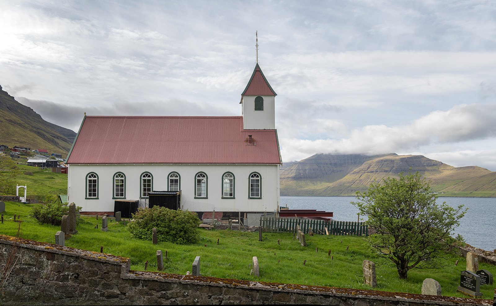
Kunoy Church
As with all Faoroese islands villages, there is a stream running through the village. A supply of fresh water was an important factor when the islands were originally colonised by the Vikings.
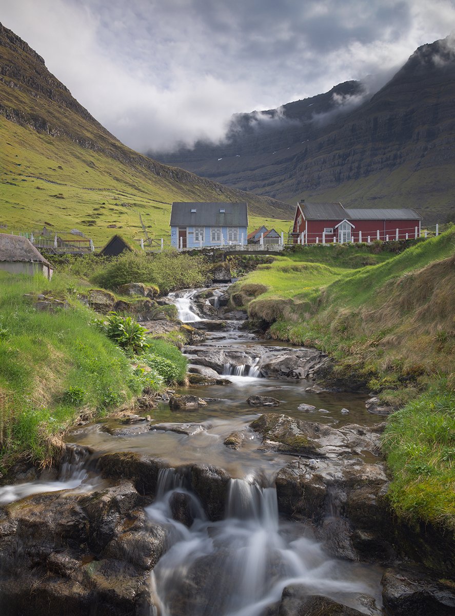
River Mylla At Kunoy
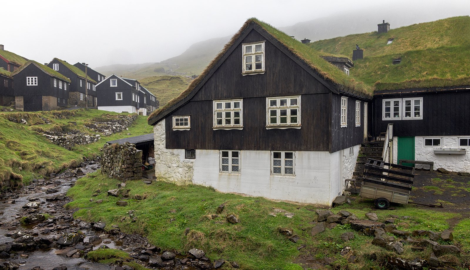
This turf roofed building was the most interesting in the village, and the image below also shows the impressive cliffs that encircle the village.
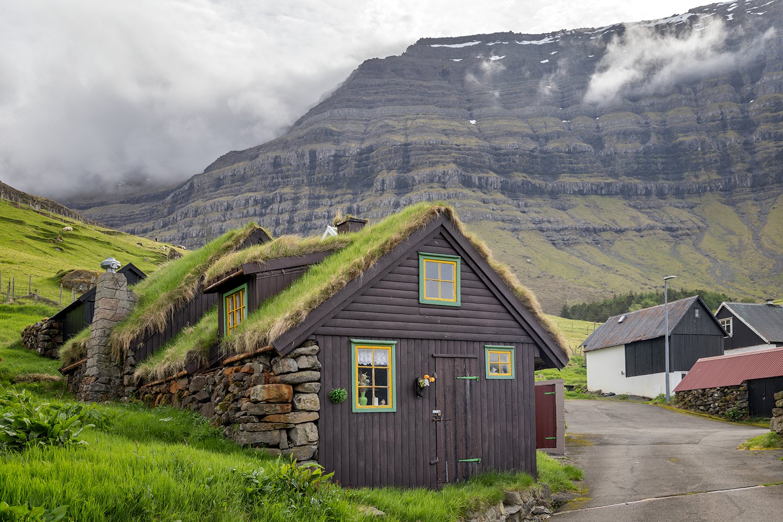
Turf Buildings In Kunoy
Returning from Kunoy, we stopped just before the tunnel entrance for a view of Kalsoy across the Kalsoy Fjord.
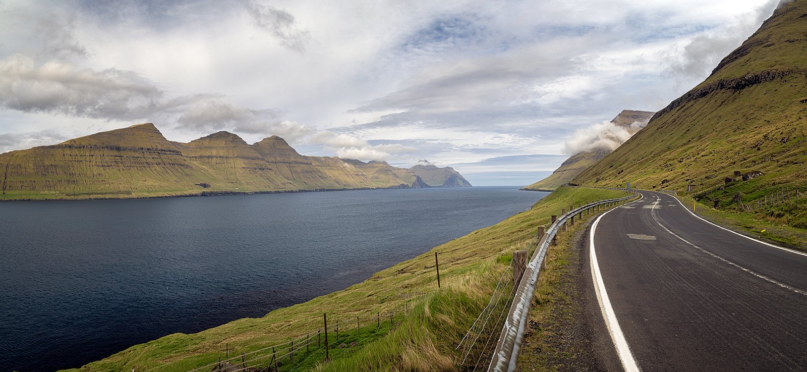
Kalsoyarfjordur
We returned through the tunnel and causeway to the island of Budoy, then took another tunnel that crosses the northern part of Budoy, then another causeway across the Hvannasund to reach the island of Vidoy, the most north-western of the Faroe Islands.
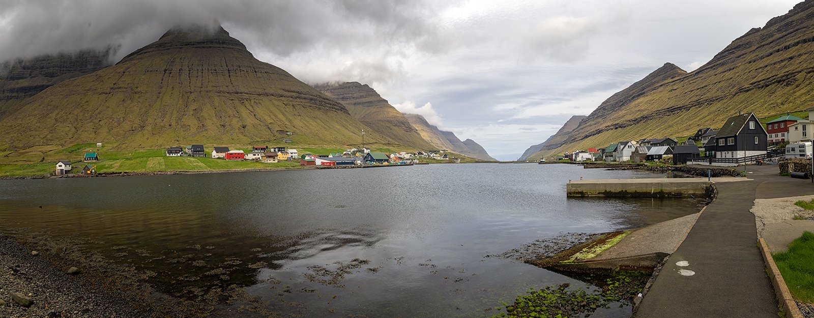
Hvannasund
Once on Vidoy, we took another, more modern tunnel to reach the village of Videreidi – the most north-western village in the Faroes. There is a scenic viewpoint of the village from the road, backed by the Villingadalsfjall mountain. An interesting fact is that Cape Enniberg, on the other side of the mountain in the image below, is the highest true (ie vertical) sea cliff in the world at almost 2500ft high. Sadly the view of the cliff is hidden and inaccessible except by boat.
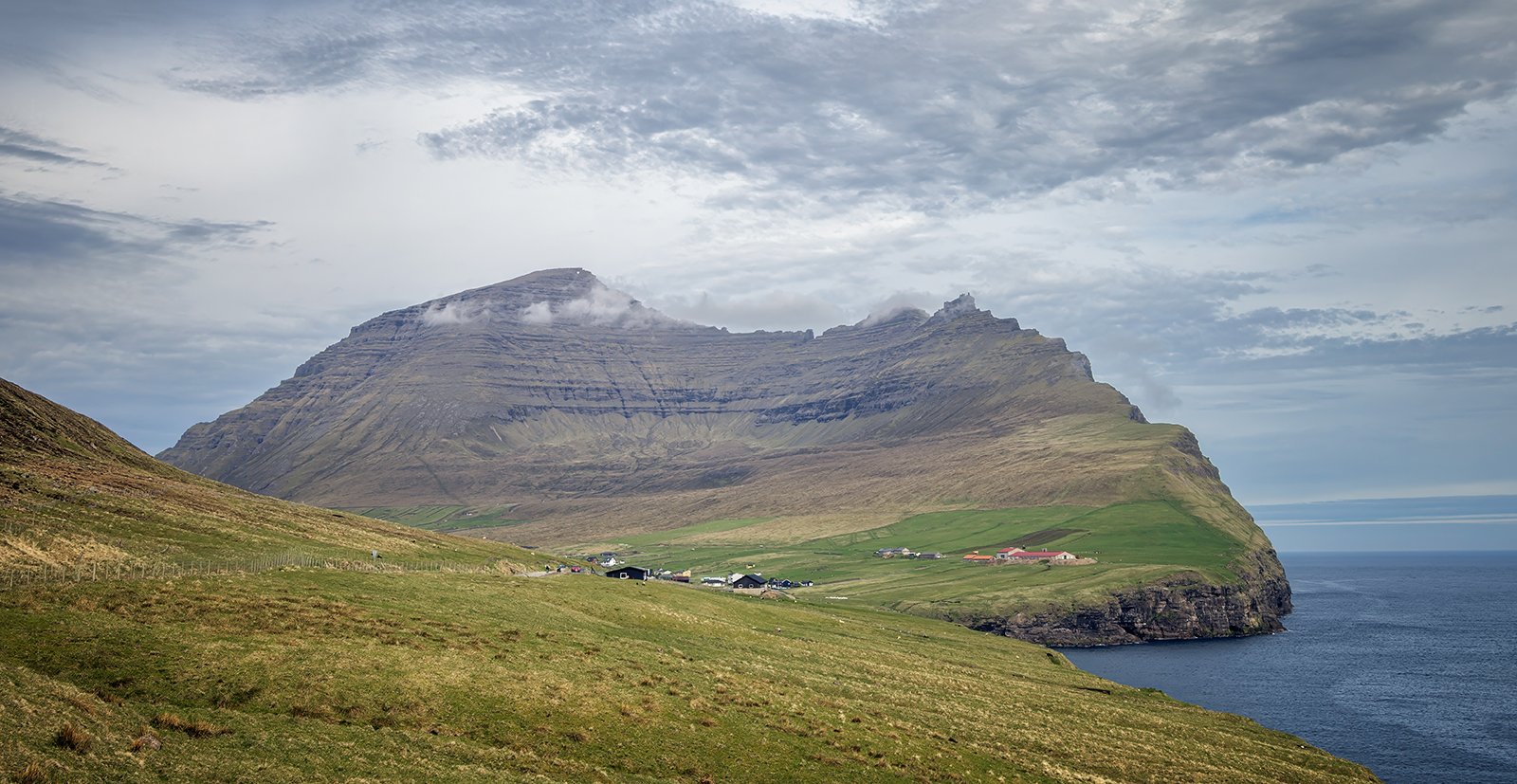
Videreidi and Villingadalsfjall
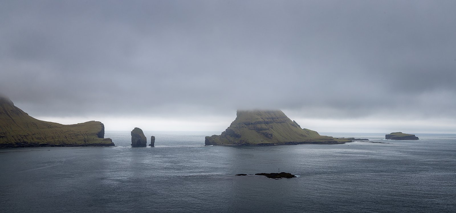
At the village, there is access to the shoreline. which gives views across the Hvannasund towards the northern part of Bordoy, with the northern cliffs of Kunoy just peeking out in the distance.
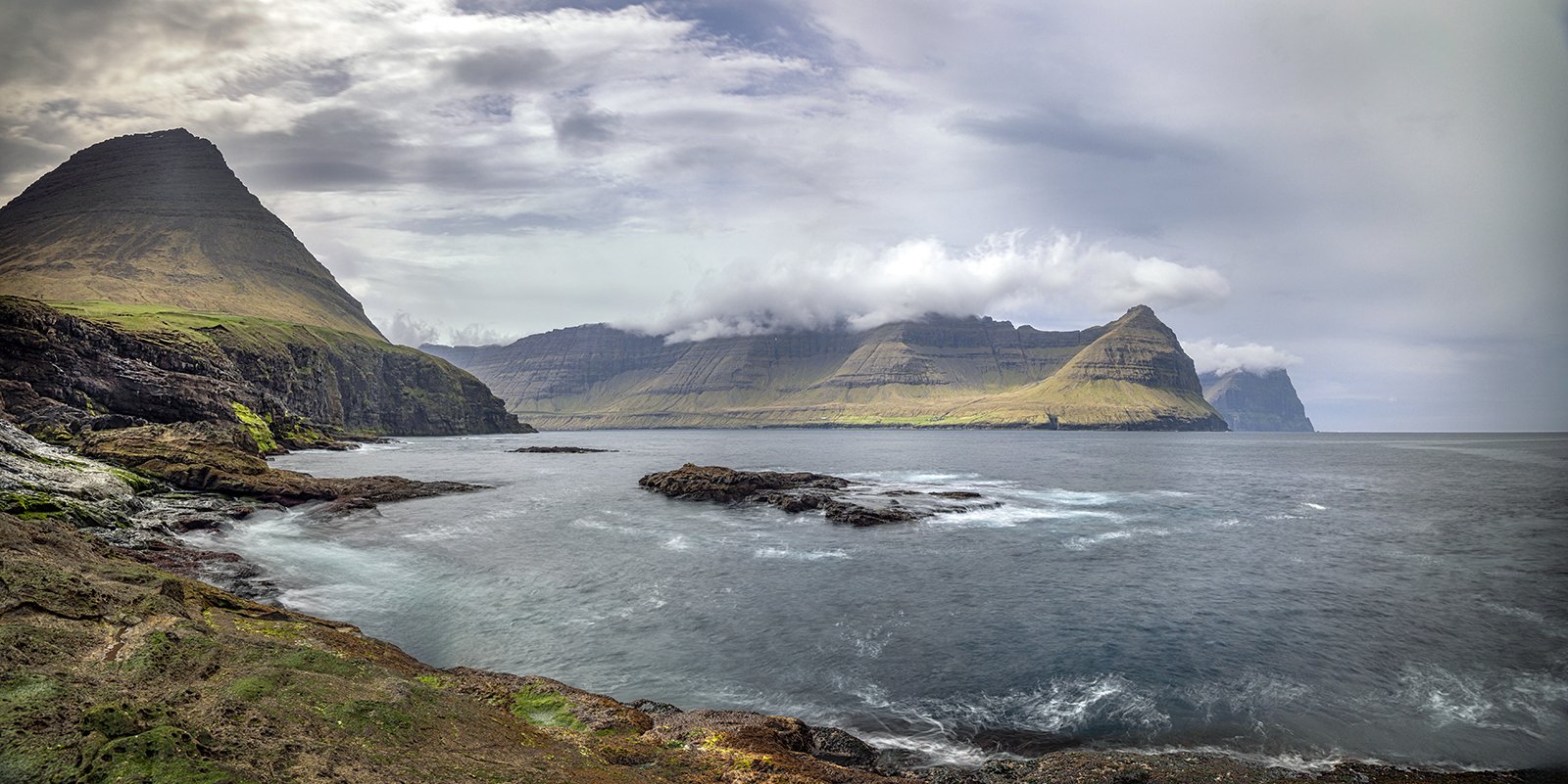
Bordoy Across The Hvannasund
Looking to the left of the image above is a view of Villingadalsfjall, but sadly Cape Enniberg remains elusively hidden on the far side of the mountain.
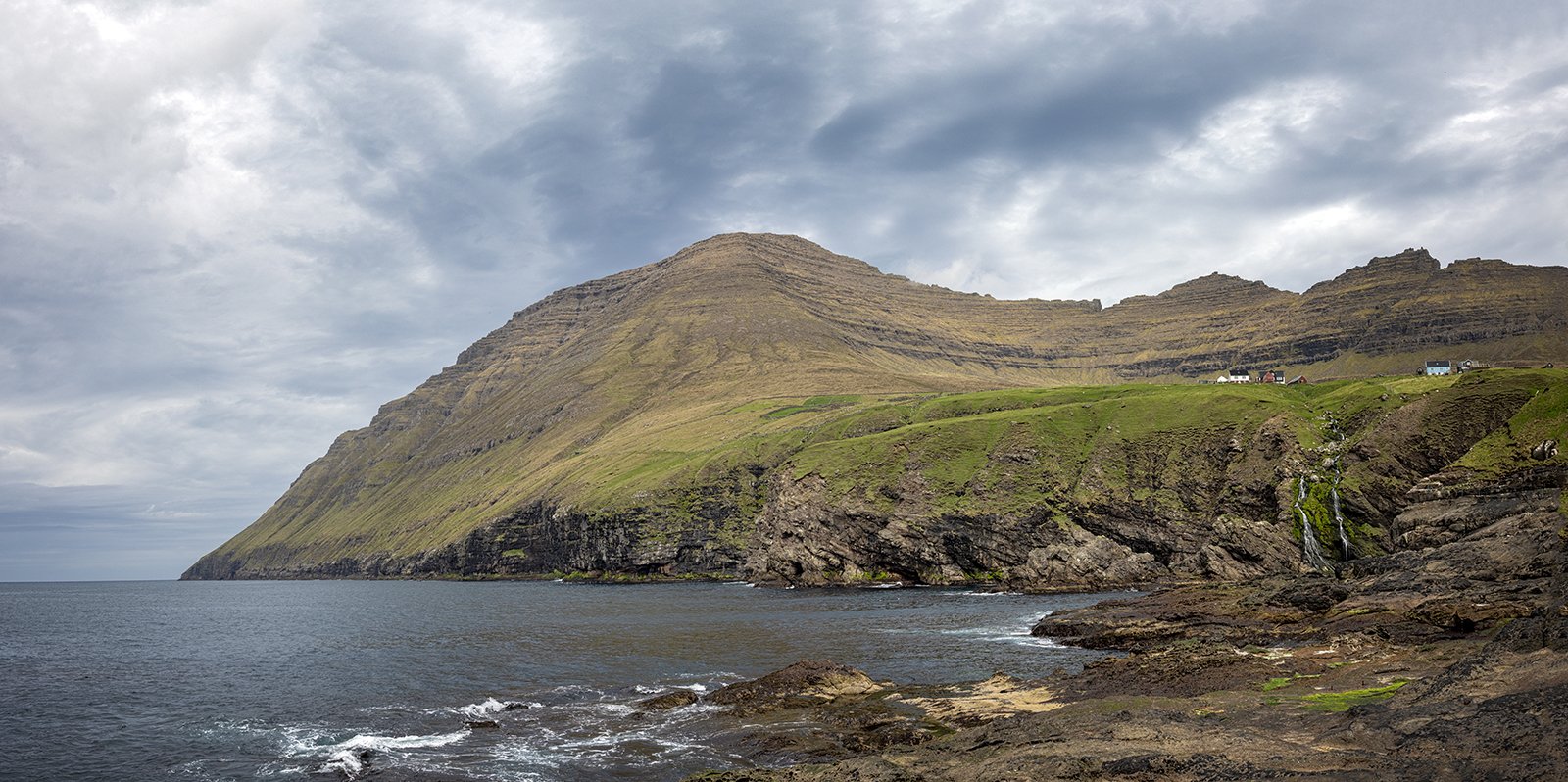
Villingadalsfjall From Videreidi
In the village itself, the church was undergoing repairs, so was unfortunately surrounded by scaffolding, however just next door is the turf roofed rectory, which provided an alternative subject, with the mountain Malinsfjall towering behind.
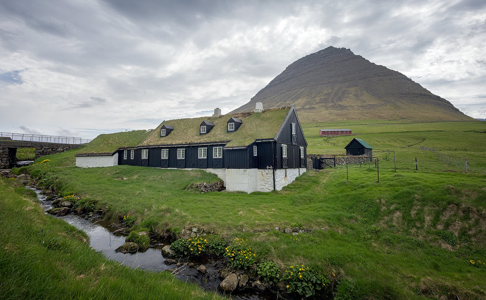
Videreidi Rectory
On the way back from Videreidi, we decided to take the old coastal route. The road climbs out of the village, and when we reached a high viewpoint, there was a rather quirky Bird Garden at Leitisgardur, with imitation puffins, miniature buildings and several geese.
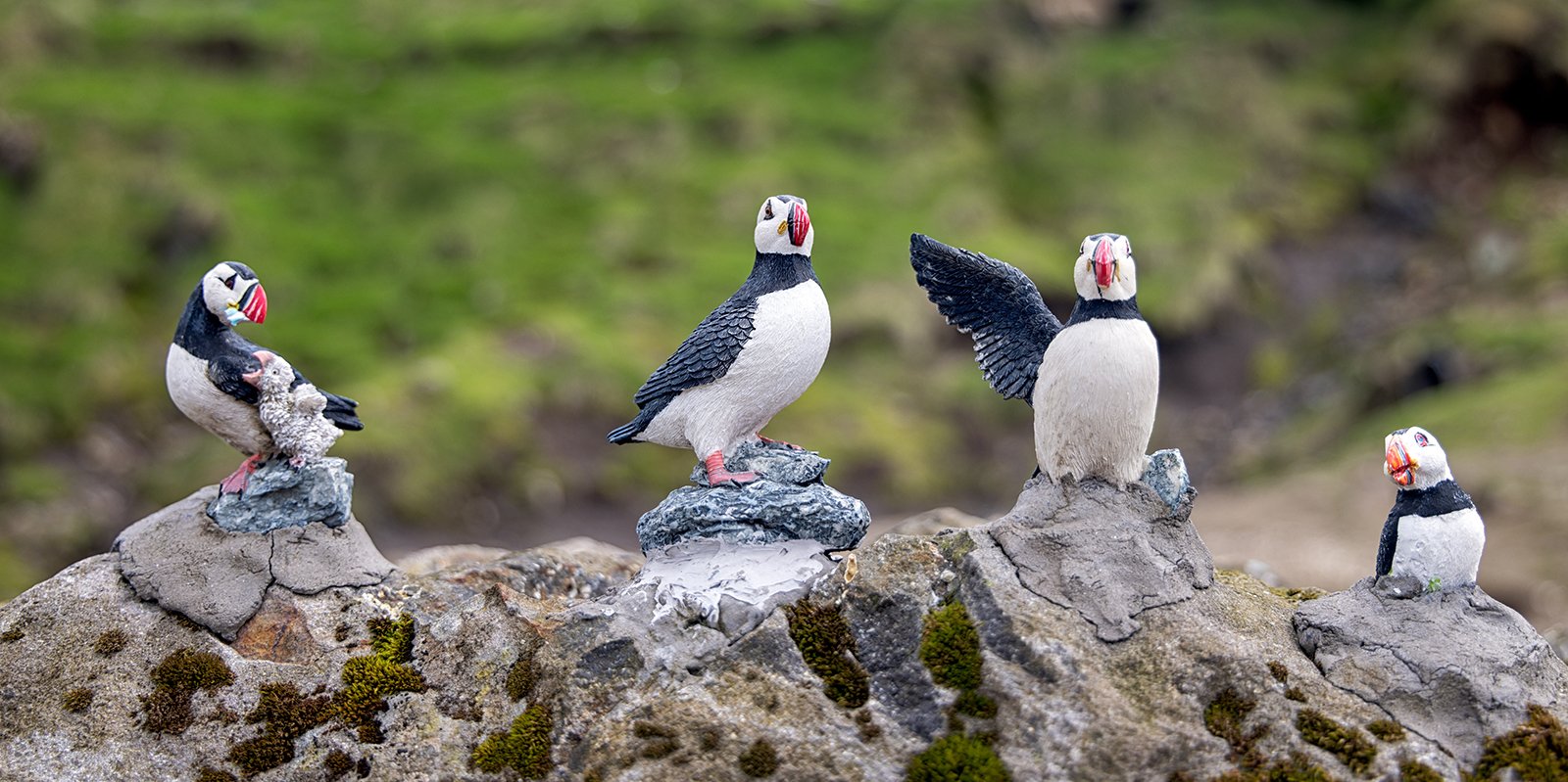
Puffin Display
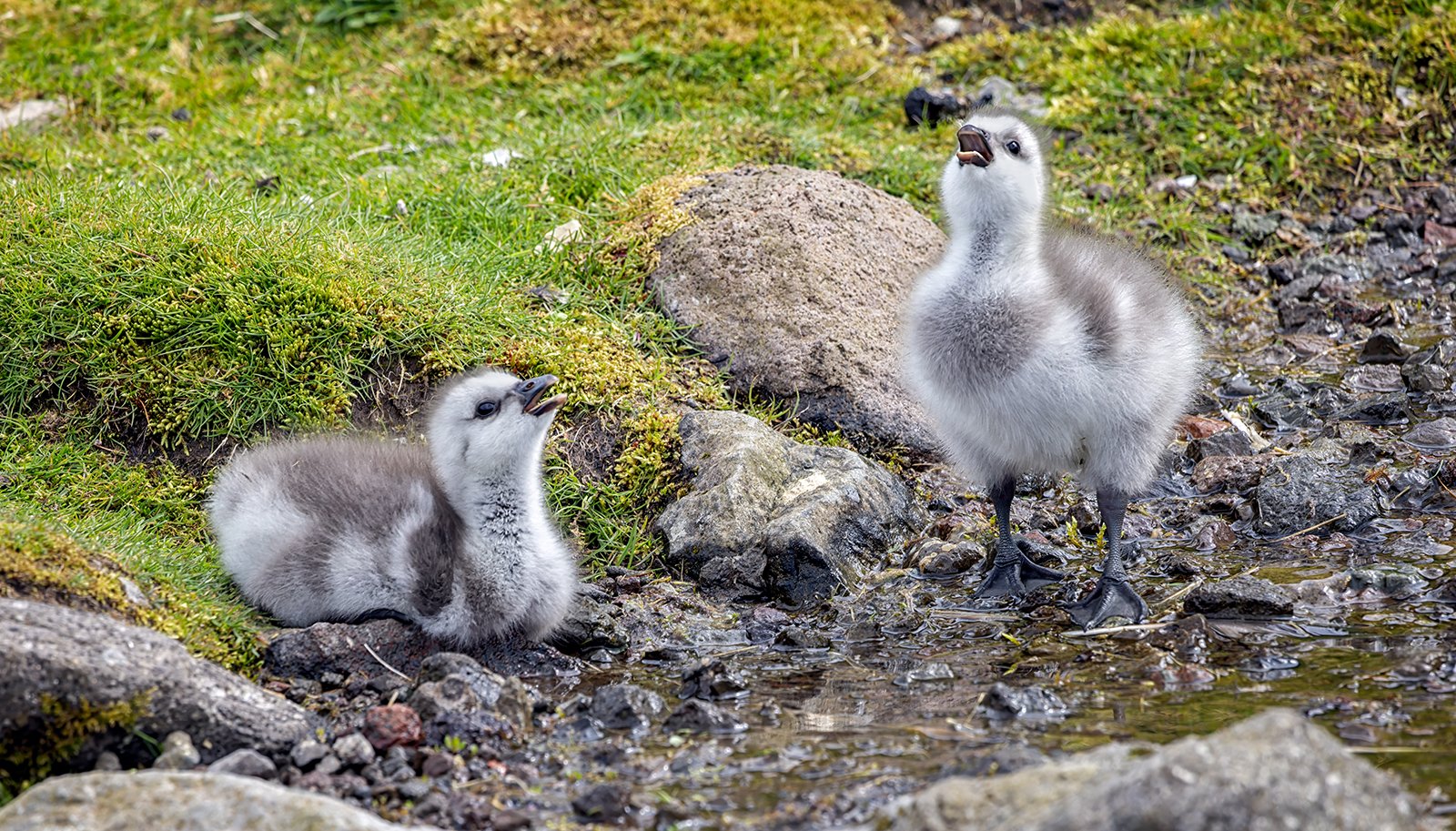
Baby Goslings
It appears that a cafe is also under development, and when completed it will offer superb views of the mountains at the northern end of Vidoy and Bordoy.
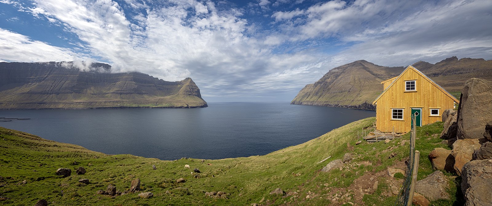
View From Leitisgardur
After we returned to Bordoy, we still had a couple of hours available, so we drove down the east coast of Bordoy to the end of the public road, then continued walking along the track towards the farm at Muli. As this area is not open to traffic, it is very quiet, and afforded some sightings of the local bird life.
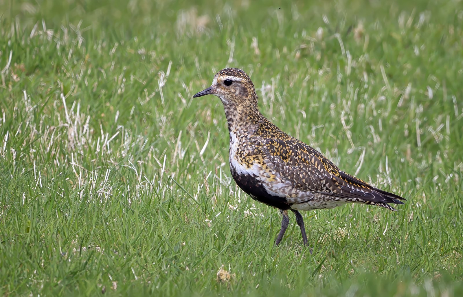
Golden Plover
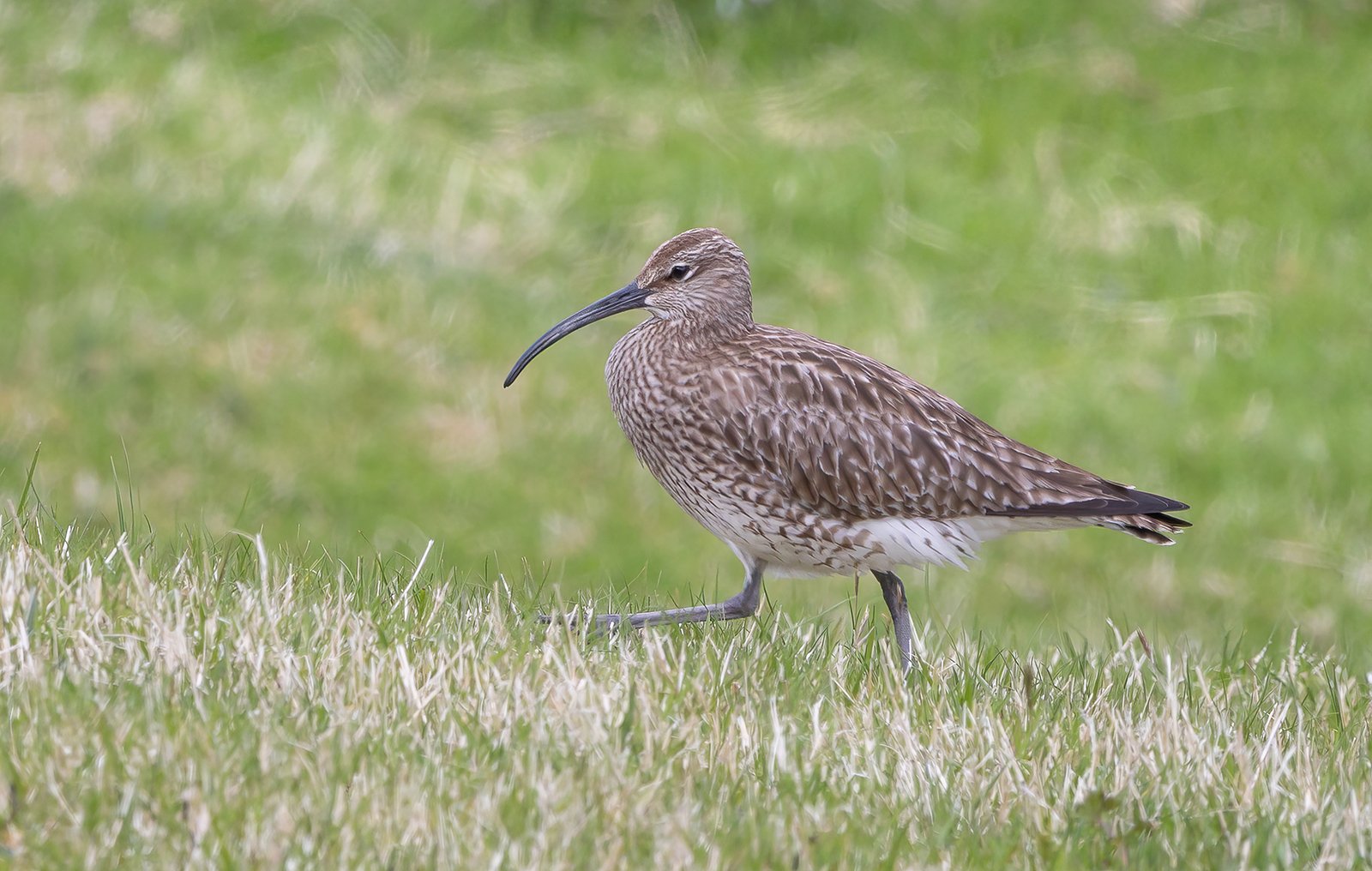
Snipe Striding Out
We then drove back to Klaksvik, after a long day exploring the northern part of the Faroe Islands.